Caldera Tour in the North of Fuerteventura – Hiking Through a World of Fire and Stone
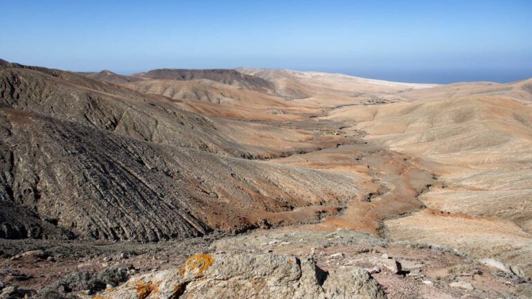
There are landscapes that take your breath away – not because of their lushness, but because of their radical stillness. The north of Fuerteventura is one such landscape. Those who hike here move through a territory that has belonged to the wind, the sun and the forces of the earth’s interior for thousands of years. The Caldera Tour in the island’s north leads straight into this heart of lava and light.
Malpais Caldera Encantada – the “badlands” with special magic
The name sounds like a warning: Malpais – the badlands. Covering an area of around 100 square kilometres, this spectacular lava landscape in the north of Fuerteventura was formed more than 8,000 years ago by violent volcanic eruptions. Geologists believe that the eruption series of that era literally caused the island to grow – new land, born from fire.
Today, the Malpais Caldera Encantada is a fascinating open-air museum of earth history. Black lava boulders, jagged rock edges and vast, almost moon-like plains alternate with surprisingly delicate greenery: low shrubs, herbs, lichens and moss persistently push their way through the stony substrate. Here, nature defies its own past.
Starting in Las Lajares – where the nature trail begins
The starting point of the Caldera Tour is the small village of Las Lajares, reachable from Puerto del Rosario via the FV-1 heading north, then left onto the FV-102 to La Oliva, continuing on the FV-10. Those who prefer to leave the car behind: Bus line 8 will take you comfortably to Las Lajares – perfectly in keeping with a sustainable hiking experience.
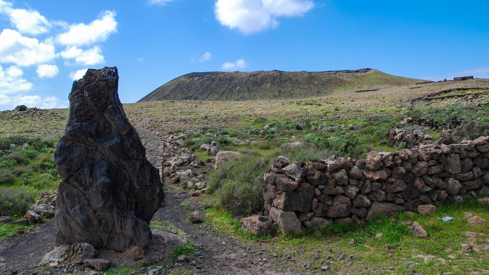
At the village entrance, a signpost bearing the inscription Sendero turistico – tourist path – greets you. A track branches off to the north; follow it to a fork in the path, turn right, and after a few hundred metres you reach the first highlight of the route.
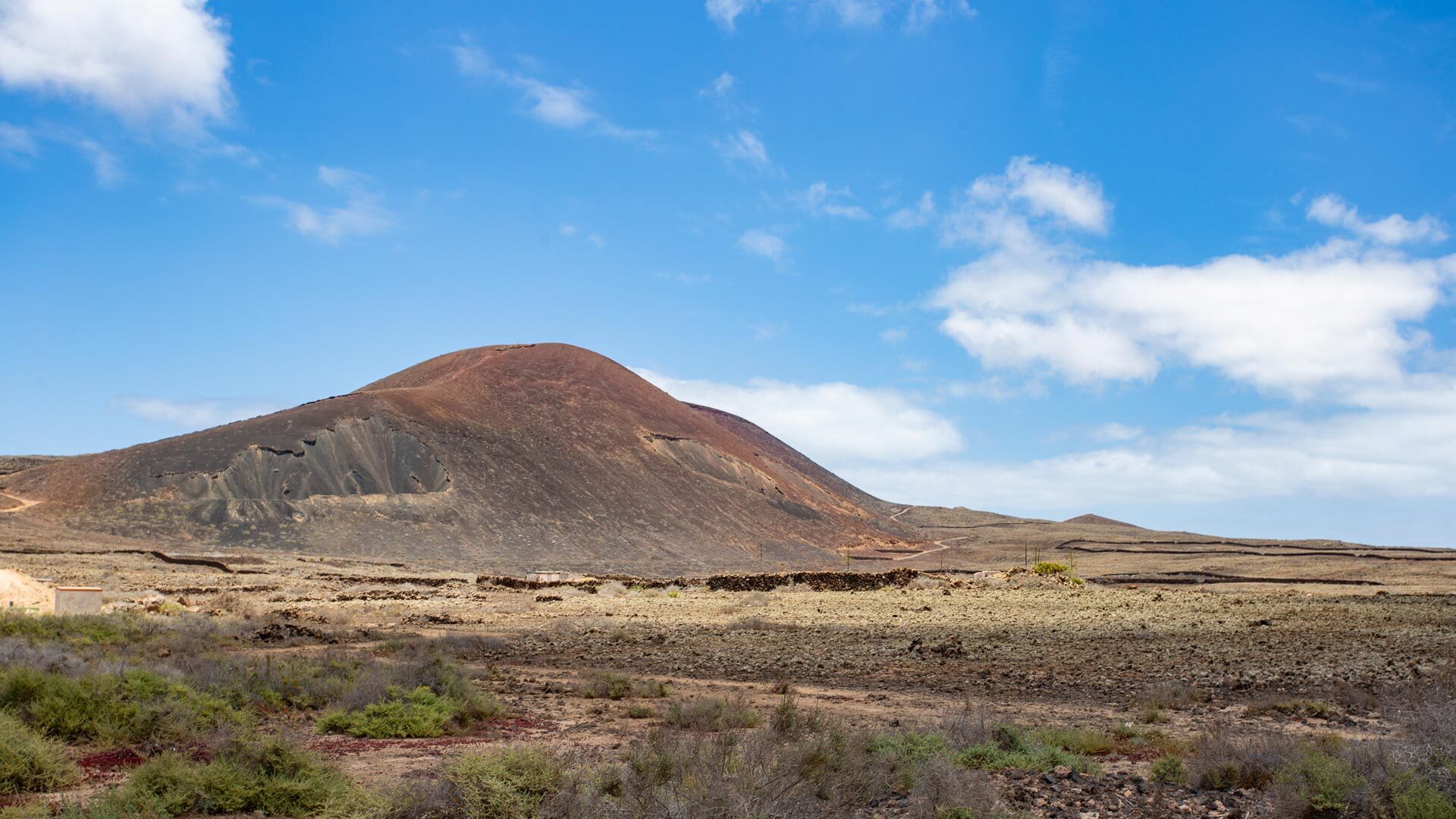
Montaña Colorada – Colour in a World of Grey
The Montaña Colorada crater glows. Amid the dark lava fields, it radiates in earthy reds and ochres – a geological wonder that bears witness to the clay and sandy subsoil beneath. It is here, experts believe, that the island’s original northern coastline once ran – before volcanism rearranged everything.
You pause, look back at Las Lajares, forward into the unknown of the Malpais – and feel how far removed you are from the everyday world of tourism.
On the restored nature trail through the volcanic landscape
From here begins the actual Sendero turistico nature trail, which has been carefully restored and lined with stones over the past few years. It is well walkable, even though sturdy footwear remains essential. The stones frame the path like a quiet guiding system through the wilderness, and gradually the grand panorama of Fuerteventura’s volcanic landscape unfolds on all sides.
You hike through a world in which the word “primordial” is no mere phrase. Every step leads deeper into a silence broken only by the wind and the occasional cry of a bird.
Calderón Hondo – View from the Crater Rim
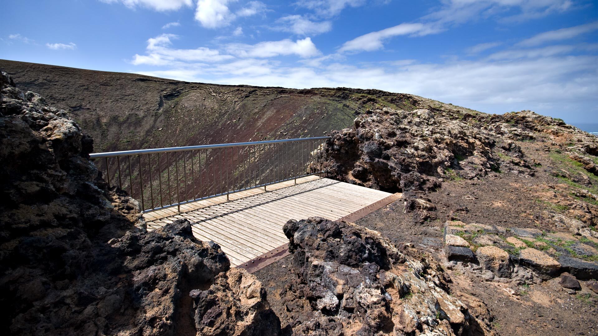
The first major destination of the trekking adventure in the island’s north is the volcanic crater Calderón Hondo, which rises to 278 metres above sea level. A viewing platform at the crater rim invites you to ascend – and rewards you with a breathtaking view down into the throat of the extinct volcano and across the expansive lava landscape all around.
On the descent, you pass a small, restored stone dwelling – a quiet relic of the ancient Canarian population who once lived in this barren area. A moment in which history becomes tangible.
Bayuyo – the second summit with panoramic views
The path continues past quirky volcanic cones, whose strange silhouettes stand out against the usually vivid blue sky. A side path to the right leads to the viewpoint crater Bayuyo, which at 269 metres towers over the northern part of Fuerteventura.
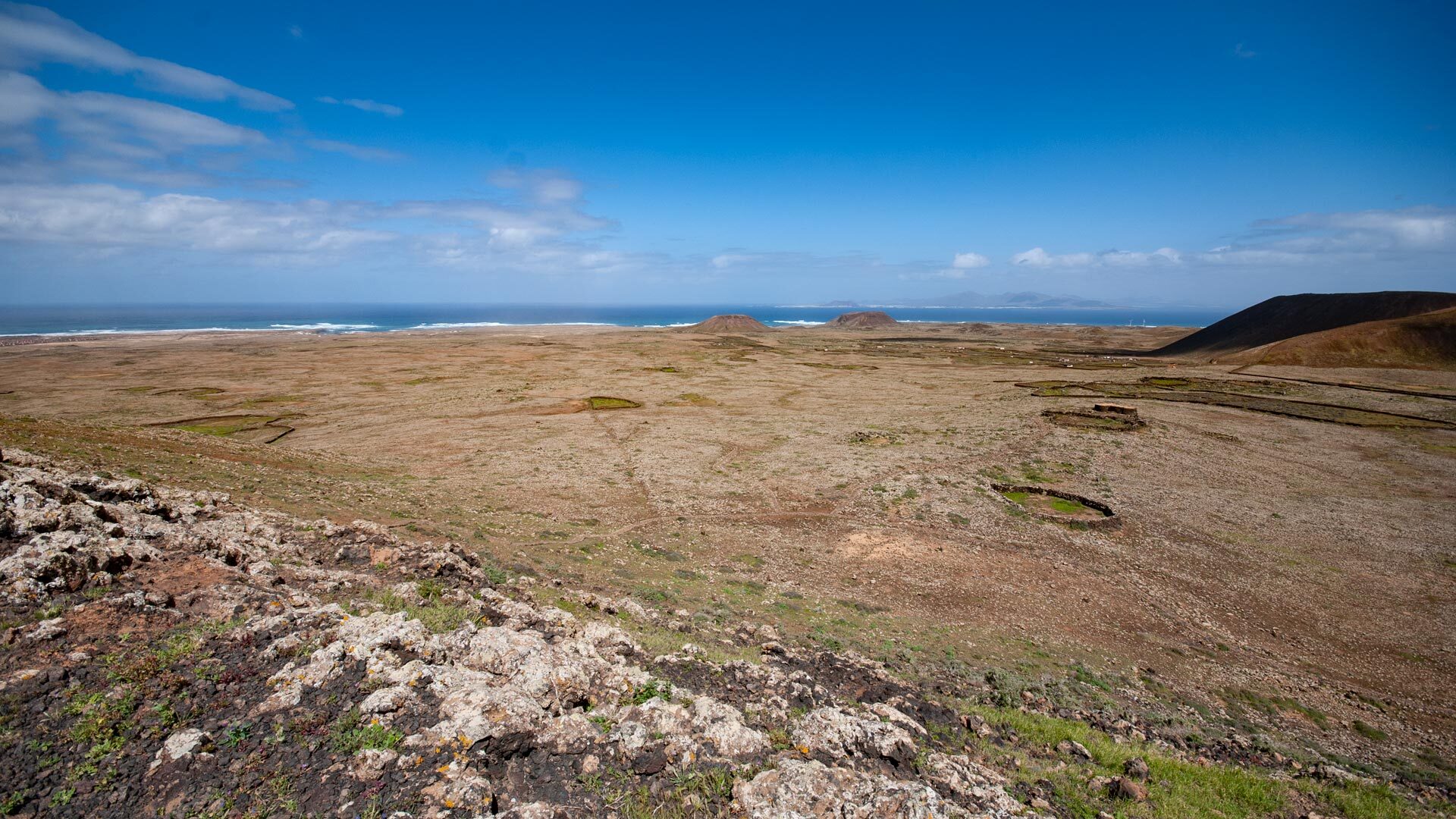
Those who make the ascent are rewarded with a panorama that burns deep into the memory: the Atlantic, the sand dunes of Corralejo, the neighbouring island of Lanzarote on the horizon. The hike in northern Fuerteventura reveals its finest side here.
Arriving in Corralejo – a Coastal Finale
The end point of the route is Corralejo, a lively coastal town with numerous restaurants and cafés. After around 10 kilometres of walking, approximately 300 metres of ascent and a hiking time of around 4 hours, you can quite rightly settle down here, gaze out at the sea and round off the day at a cosy venue. Corralejo also offers shopping opportunities and a good bus connection back to the starting point.
Tour Info at a Glance
| Starting Point | Las Lajares |
| End Point | Corralejo |
| Difficulty Level | Moderate |
| Distance | approx. 10 km |
| Hiking Time | approx. 4 hours (full route) |
| Elevation | 300 m ascent / 400 m total |
| Getting There | Car (FV-1 → FV-102 → FV-10) or Bus line 8 |
Tip: Variations and Mountain Biking
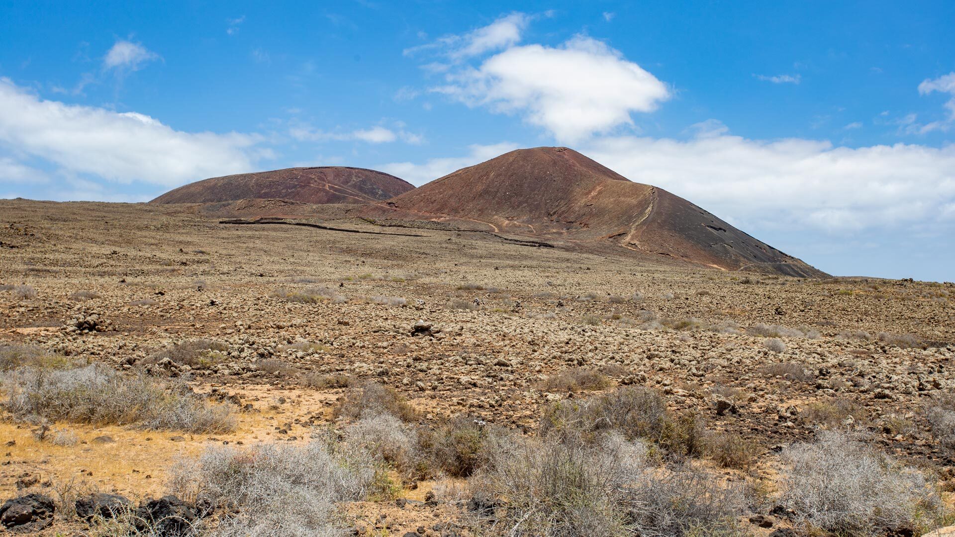
Those with less time can also complete the Caldera Tour without the summit ascents of Calderón Hondo and Bayuyo – the hiking time then reduces to around 3 hours. The more sportingly ambitious can also tackle the route by mountain bike: the restored trail offers an unforgettable experience in the volcanic landscape of the island’s north on two wheels as well.
Those who have once hiked through the Malpais Caldera Encantada carry a piece of Fuerteventura with them – rugged, still and of enduring beauty.