Hiking on Fuerteventura – Where Volcanoes, Desert and Silence Converge
Fuerteventura. The name conjures images of endless sandy beaches, turquoise-blue Atlantic waters and wind-swept dunes. What is all too easily forgotten: the island is far more than a sun-and-sea paradise. Those who set out to explore it on foot discover an entirely different face – one that reveals itself quietly, unspoilt and of breathtaking beauty. Hiking on Fuerteventura is an experience that gets under your skin.
A Landscape That Needs No Words
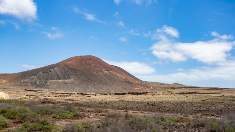
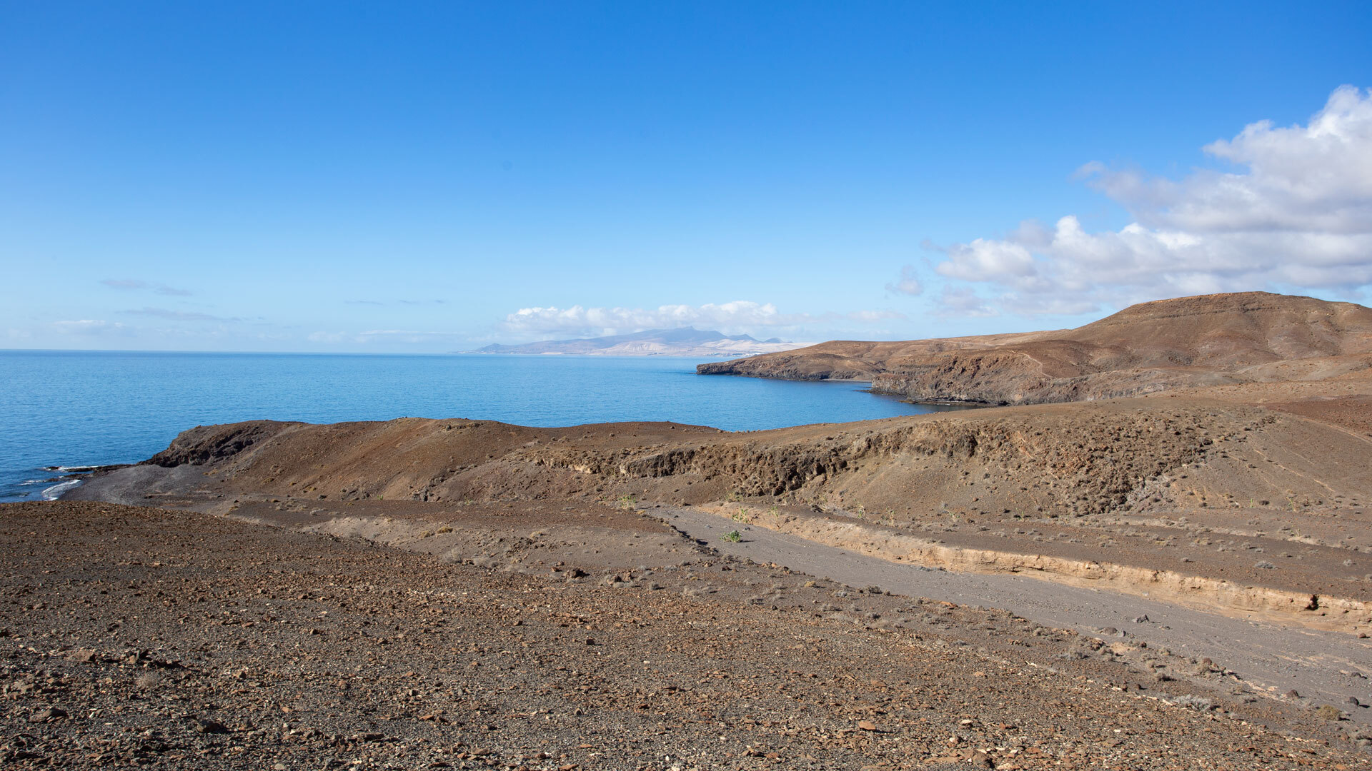
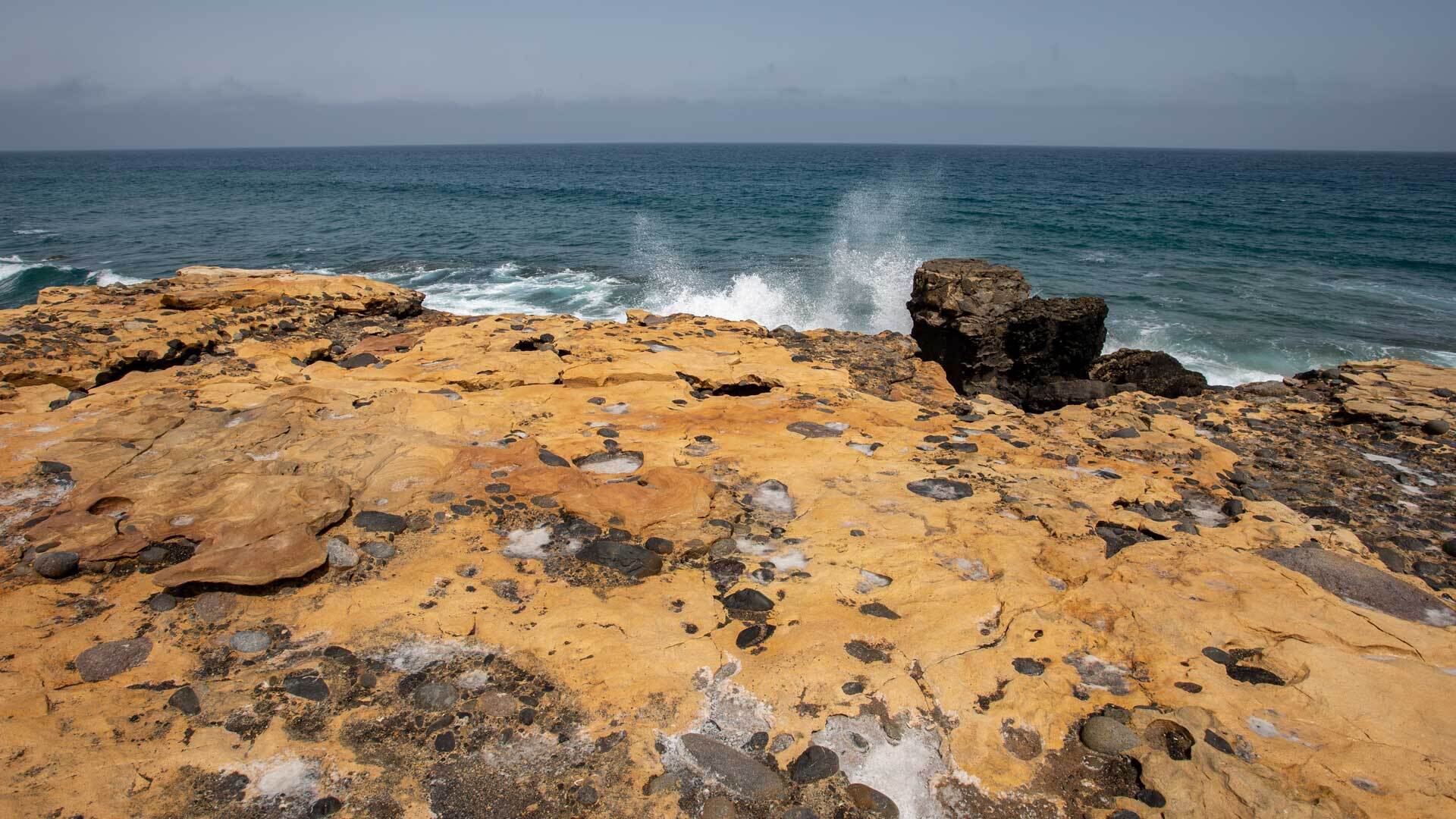
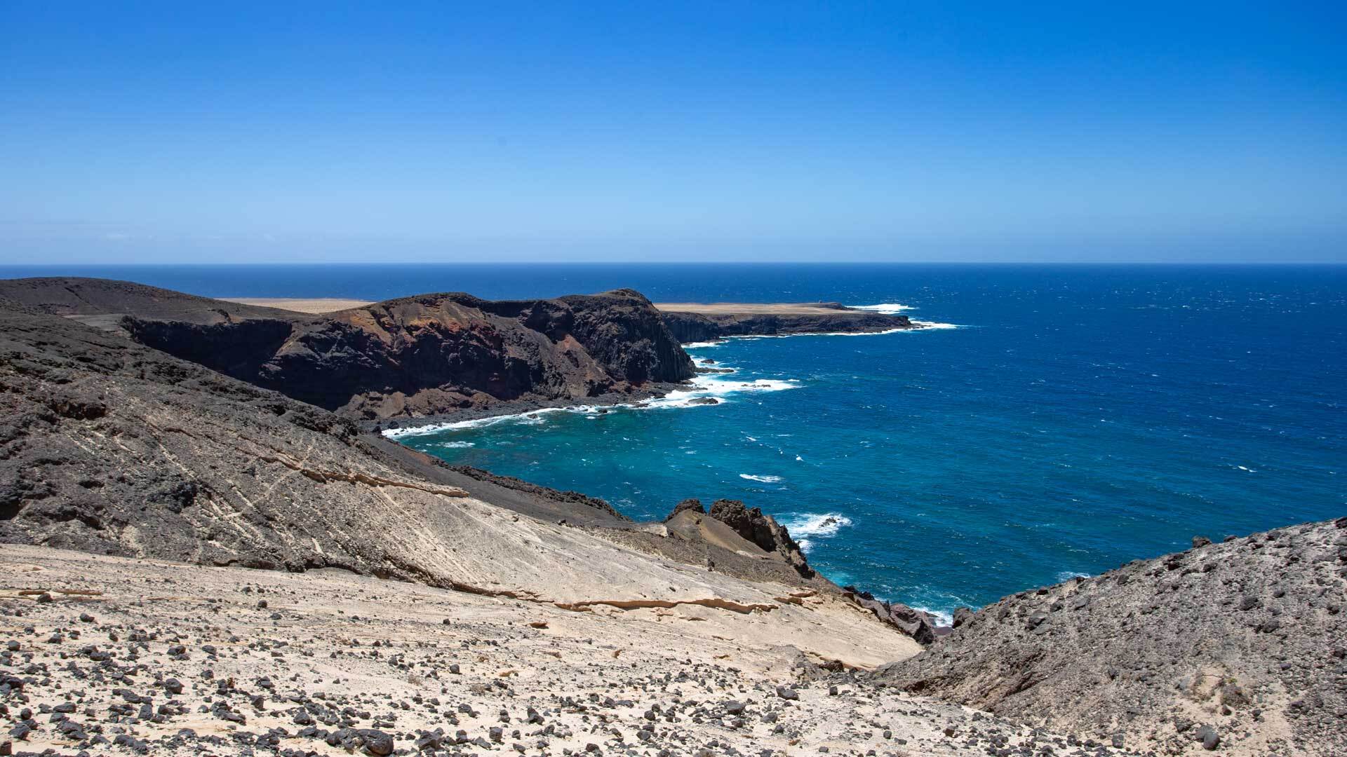
You do not have to walk far to understand why this island is a UNESCO Biosphere Reserve. Just a few steps off the tourist trails, a volcanic landscape opens up that feels almost meditative in its rawness and silence. Solidified lava flows that cut across the plain like black rivers. Craters staring silently up at the sky. And in between – barely believable – delicate little plants nestling into the rock.
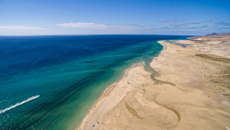
In the south of the island the landscape broadens into something desert-like: golden sand dunes leaning against the ridgelines, dream beaches that must be earned with a march through lonely terrain. The hiking trails on Fuerteventura lead through all of this – and through a flora and fauna as integral to this island’s character as the wind itself.
The Best Time of Year for Hiking
Hiking on Fuerteventura is best enjoyed in the months of November to April. During this period the island shows its gentlest side: temperatures are pleasantly mild, the vegetation emerges from its summer dormancy, and those who are lucky will witness a floral spectacle that you would scarcely have expected from such a sparse landscape.
In summer, on the other hand, the sun blazes mercilessly. Heat and a lack of shade – for shade-giving trees are a rarity on Fuerteventura – combined with dry winds make long hikes a genuine physical challenge. Anyone wishing to hike in summer should do so exclusively in the early morning hours and keep routes short.
What You Need to Know: Trail Markings
The hiking trail network on Fuerteventura follows the Spanish marking system – colour-coded and clear once you know the symbols:
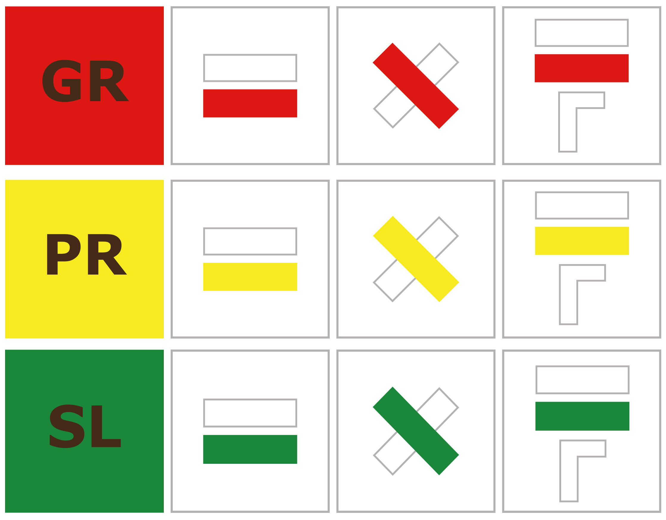
The trail symbols themselves are equally clear: a two-coloured equals sign means continue straight ahead, a two-coloured X warns of the wrong direction, and diverging bars signal an upcoming change of direction. Once you have internalised this simple visual language, navigating the marked hiking paths of Fuerteventura is straightforward.
On unmarked paths, the rule is: proceed with caution, take no unnecessary risks, and turn back if in doubt.
The Most Beautiful Hiking Destinations on Fuerteventura
The Volcanic North
Between Corralejo and the Cuchillos de Vigán, a moonlike landscape opens up that is hard to surpass in its wildness. Lava fields, extinct craters, sweeping views of the sea – here you walk through geological time. The lava landscapes of northern Fuerteventura rank among the most impressive natural environments of the entire Canary Islands.
The Betancuria Massif at the Heart of the Island
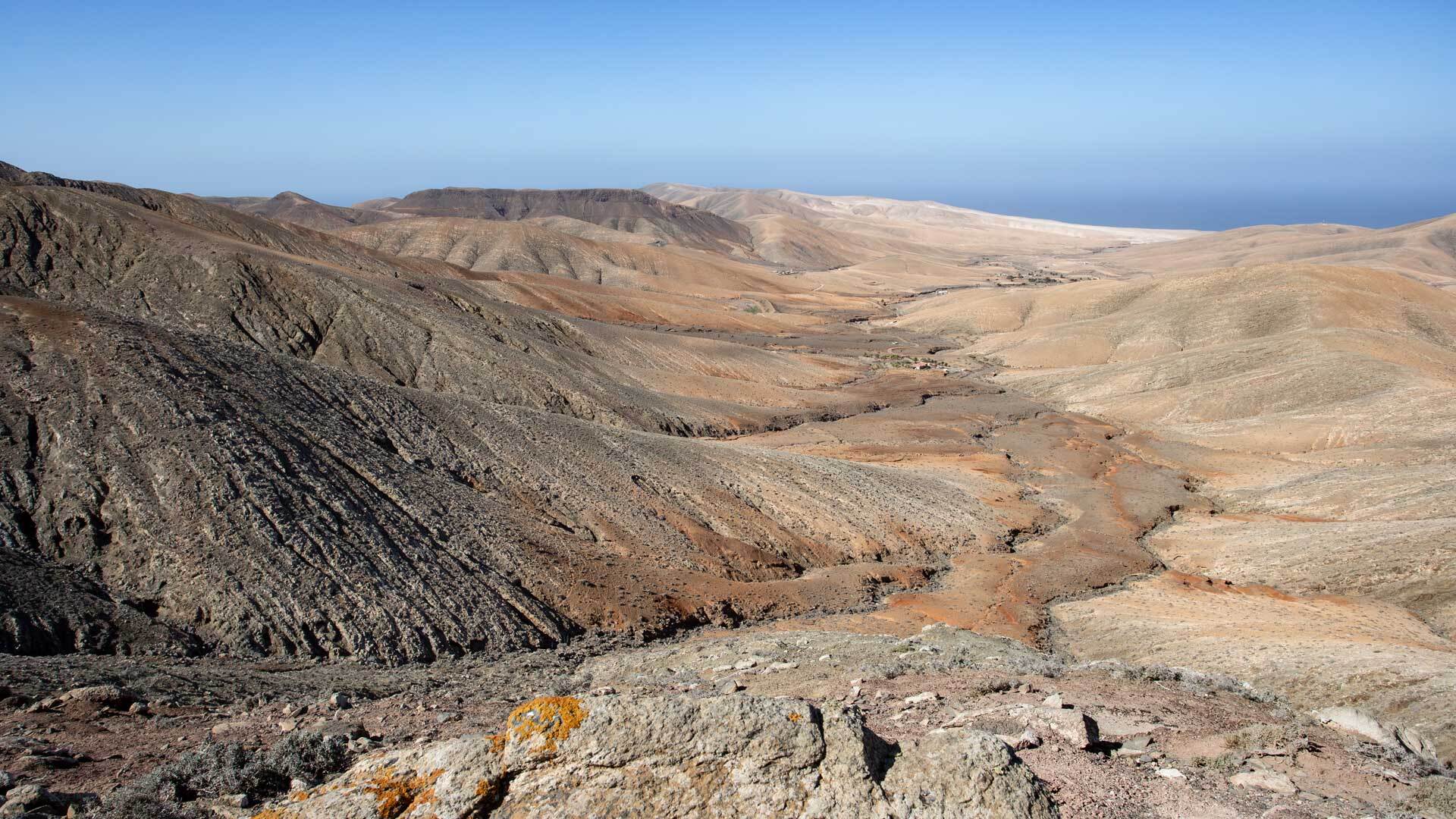
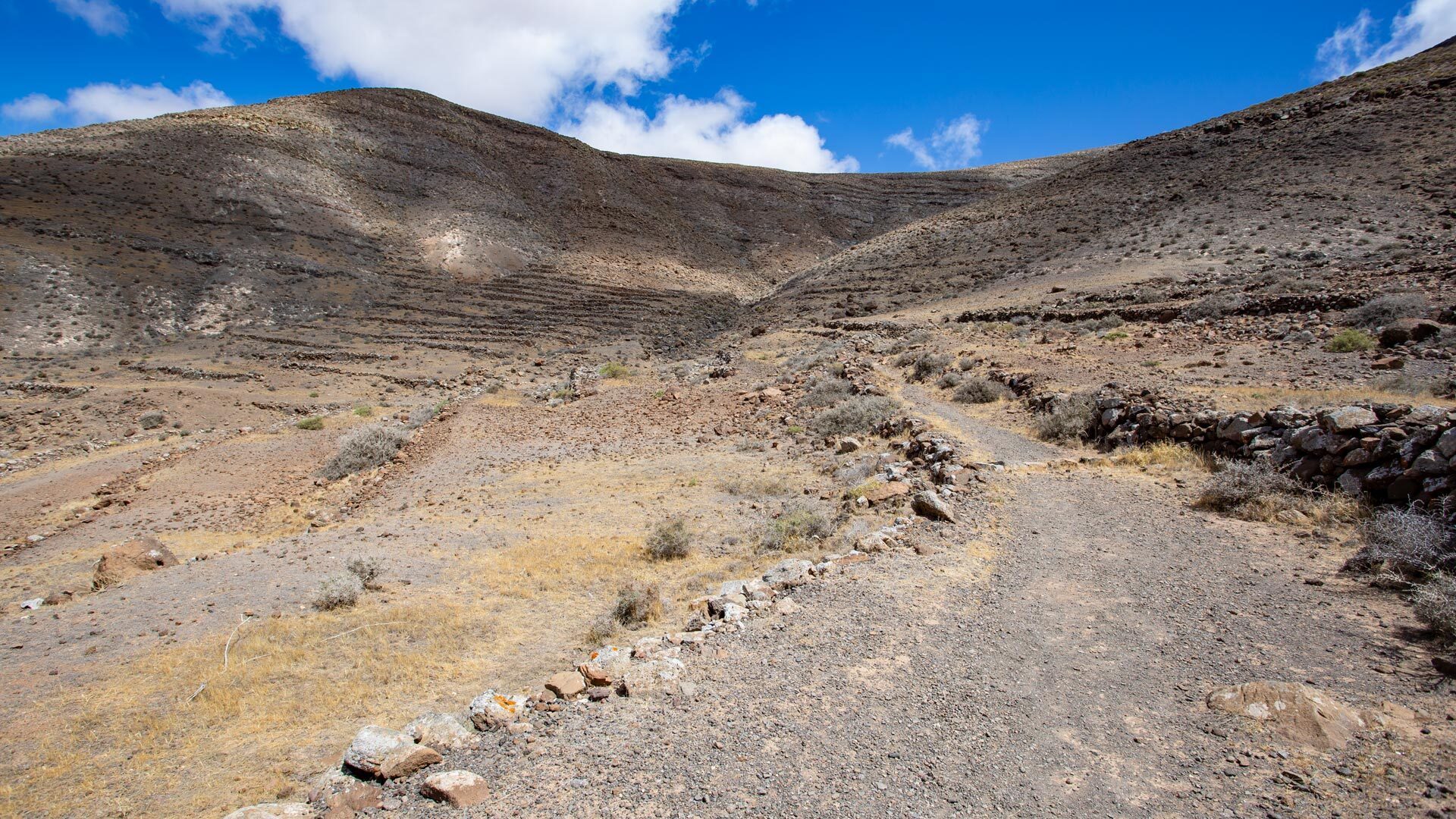
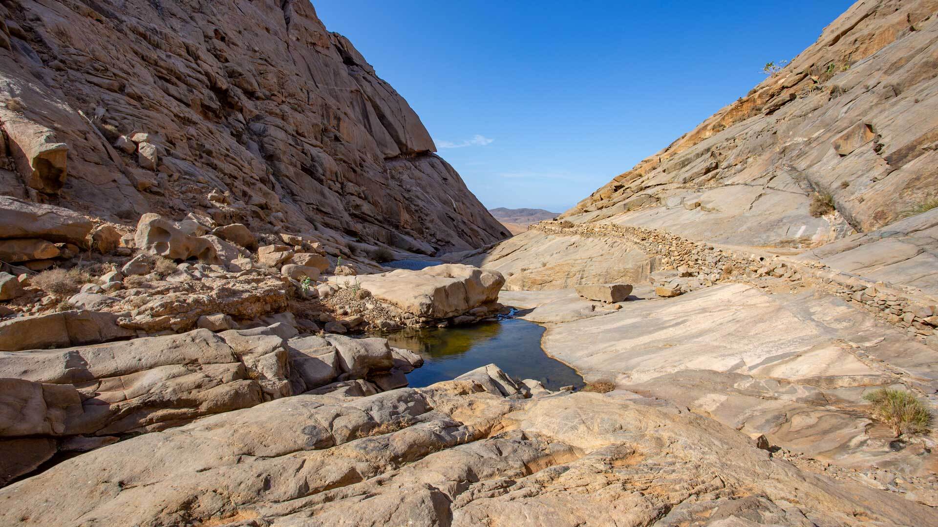
Those who hike through the geographical centre of the island encounter a tranquil mountain world. The ridgelines of the Betancuria Massif rise gently above the surrounding plateau. Ochre-coloured rocks, the soft whistle of the wind, wide valleys spread out below – it is a landscape that speaks not loudly, but compellingly. Hikes in the Betancuria Massif also pass through the island’s oldest small town, inviting you to slow down and take it all in.
Jandía in the South: Dunes, Beaches and Solitude
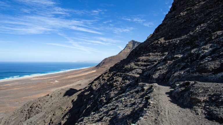
In the south of Fuerteventura lies the Jandía Peninsula – and with it some of the most beautiful hiking routes on the island. Those who march through here pass towering sand dunes, gaze out over turquoise water and eventually reach beaches that no bus will take you to. The solitude here is not emptiness, but a gift.
Equipment and Safety: What to Bring
As tempting as the hiking tours on Fuerteventura may be, the island demands respect. Some areas are completely deserted, with outside assistance barely reachable. The rule therefore is: never hike alone, and research your route thoroughly in advance.
Your pack should contain the following:
Even if the sky looks brilliantly blue when you set off: the difficulty level of a hike can change rapidly due to rain, wind or heat. Flexibility is not a weakness – it is wisdom.
Guided Hiking Tours: Exploring the Island With Experts
Those who truly wish to understand the landscape of Fuerteventura would do well to book a guided hiking tour. Experienced guides – some of them also German-speaking – share stories of the volcanic island’s geology, the history of its original inhabitants, and the magic of its silence. Some operators offer all-inclusive packages including transport and accommodation.
Digital Helpers: GPS, Apps and Route Planners
Those who prefer to head out independently will find a comprehensive overview of beautiful hikes on Fuerteventura at sunhikes.com – to browse, download and follow. The integrated 3D route planner allows you to create your own tours and download them as a GPX track.
For Apple users, the GPS app Maps 3D is recommended – it renders mountains and valleys in three dimensions, not flat lines but tangible topography. Those navigating with Google should choose the KML track download.
Final Thoughts: Rediscovering Fuerteventura – on Foot
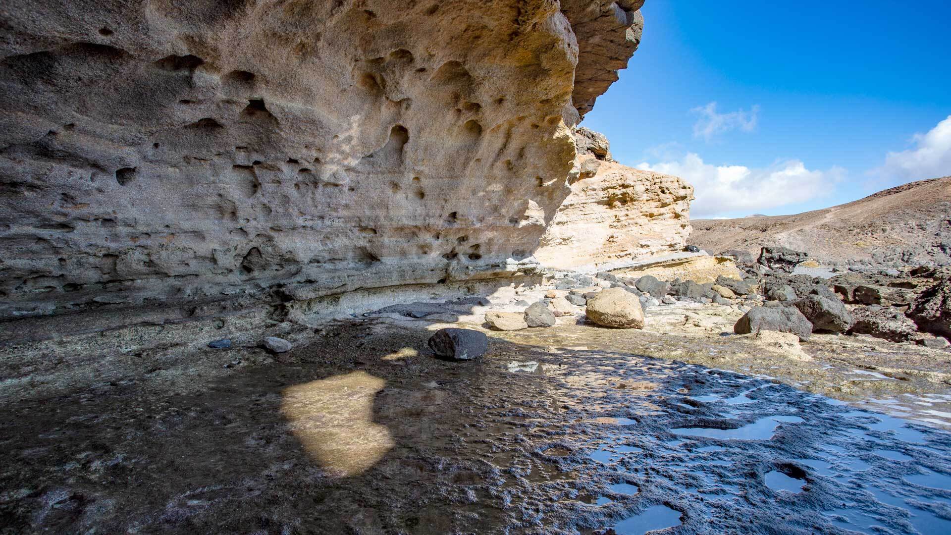
To read Fuerteventura with your feet is a different way of travelling. Slower. Deeper. More real. Those who venture onto the island’s hiking trails leave behind the tourist-trodden path and enter a Fuerteventura that no travel brochure can capture. Volcanoes, desert, wind and silence – that is the soul of this island. And all you have to do is start walking to find it.
trail markings
GR – (Gran Recorrido) or “Long-Distance Route”
A hiking trail marked with a red G.R. is a long-distance route that can sometimes run to several hundred kilometres. Trails marked in this way are typically not completable in a single day.

PR – (Pequeño Recorrido) or “Short Route”
Hiking trails marked with a yellow P.R. are day hikes. They are at most 30 kilometres long.

SL – (Sendero Local) or “Local Path”
A green S.L. marks short walking routes that can be completed within a few hours and run close to villages or towns.


Continue Straight Ahead
A two-coloured equals sign indicates that the straight-ahead path should be followed. The upper bar is always white, the lower bar coloured.

Wrong Direction
A two-coloured “X” indicates that you are heading in the wrong direction.

Change of Direction
When the two parallel bars diverge, this indicates an upcoming change of direction.

Sharp Change of Direction
When a sharp change of direction occurs, the sign indicating this resembles the “continue straight ahead” sign with one single difference: beneath it, a white bar points in the direction that should now be taken.