Corralejo Volcanic Chain: Where Fuerteventura Reveals Its Wild Origins
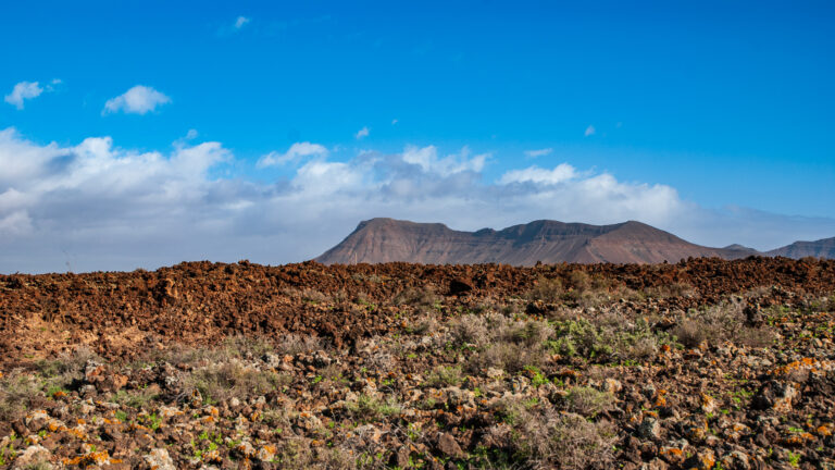
Those who explore the north of Fuerteventura enter a world that has barely changed over thousands of years. Between the lively coastal town of Corralejo and the quiet village of Lajares, covering around 100 square kilometres, lies one of the most impressive volcanic landscapes in the Canary Islands – the so-called Bayuyo Formation, also known as the Volcanes de Bayuyo. Here the earth still lies exactly as the fire left it.
The Bayuyo Formation – A Natural Archive of Lava
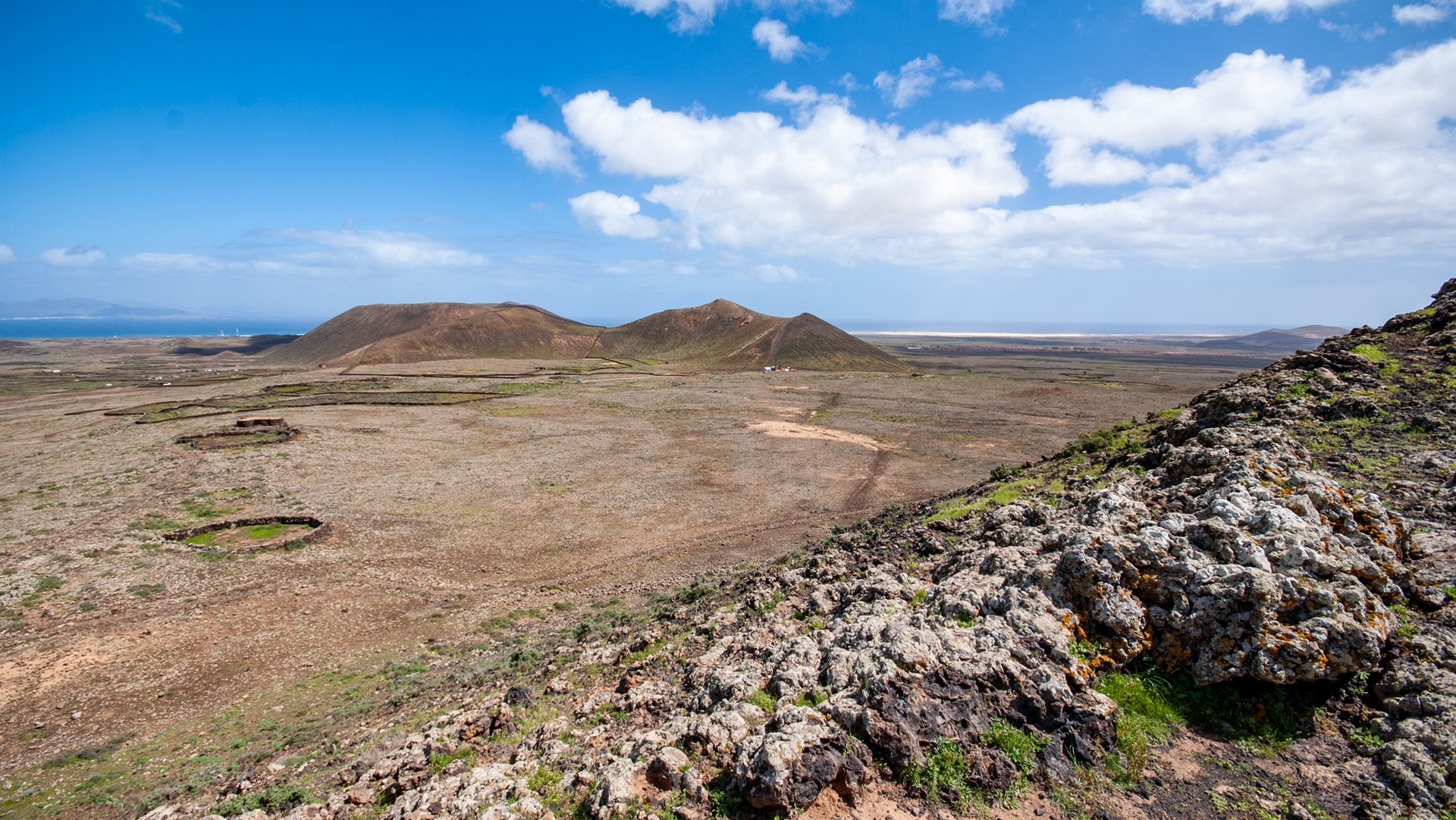
The volcanic chain near Corralejo runs in an almost straight line from the north coast towards the south-west as far as Lajares. What at first glance looks like a barren, lifeless moonscape turns out, on closer inspection, to be a fascinating natural archive. Scientists estimate that the eruptions of this chain took place around 50,000 to 8,000 years ago – with far-reaching consequences: the eruption masses considerably enlarged the surface area of Fuerteventura. According to the theory, the north coast is said to have shifted by almost 10 kilometres towards the sea. Even the neighbouring Isla de Lobos is thought to owe its existence to this volcanic activity.
Standing in the middle of this lava desert, one senses the forces that were once at work here.
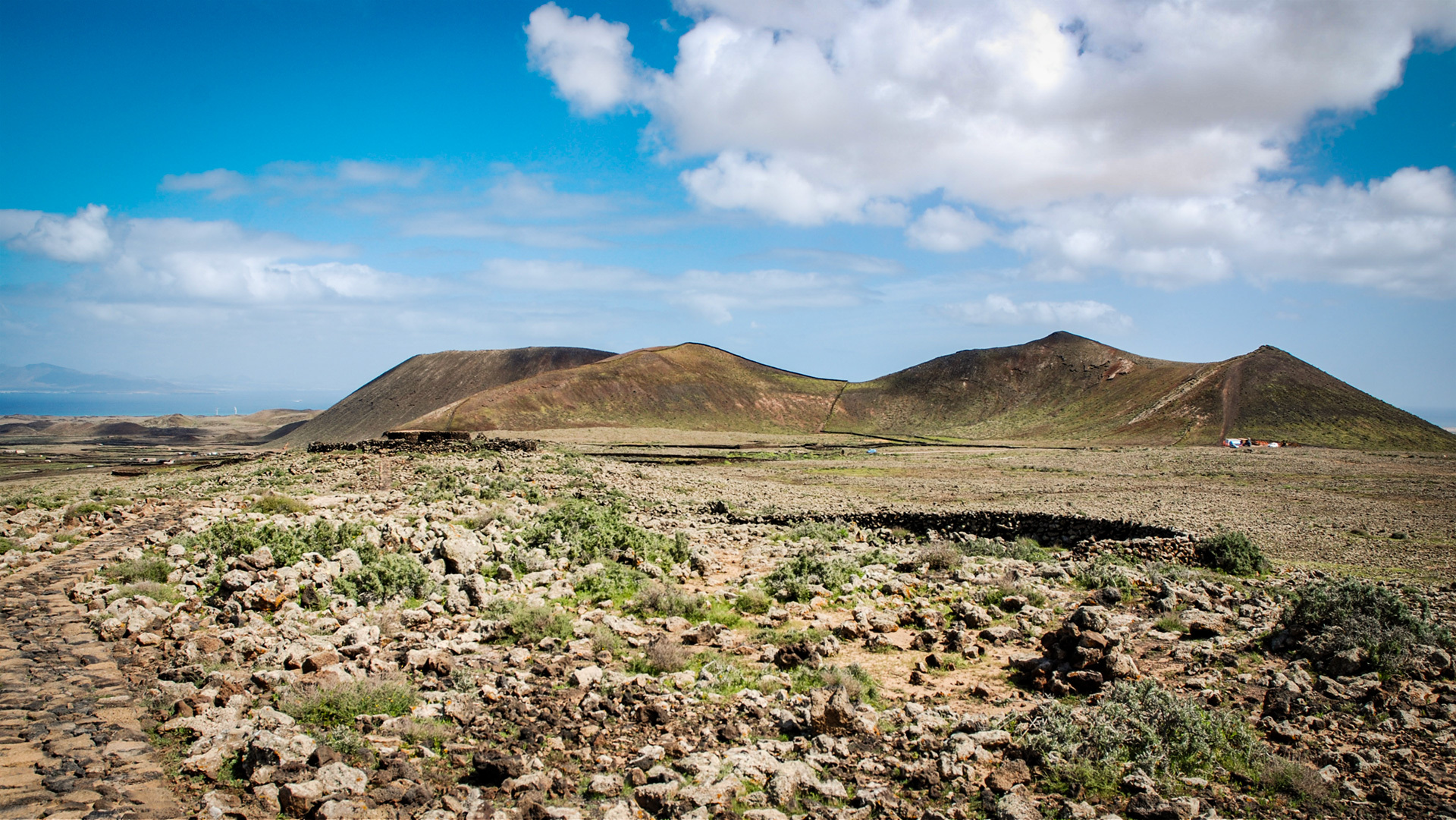
The Four Craters of the Volcanic Chain
Four distinctive volcanic cones shape the face of this extraordinary landscape in the north of Fuerteventura:
Each of these volcanoes has its own character. Each tells its story – frozen in stone, shaped by the wind.
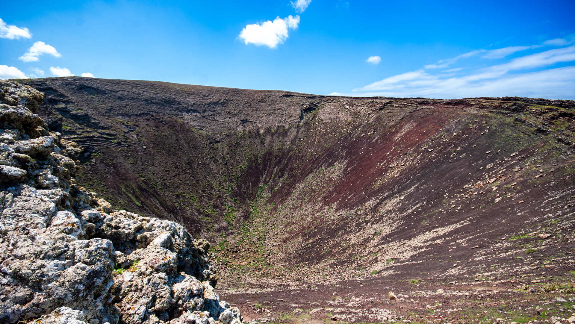
Calderón Hondo – A Glimpse into the Earth’s Throat
The Calderón Hondo is a picture-book volcanic crater. Its bowl, around 70 metres deep, opens up at the summit like a stone amphitheatre. Those who venture up to the viewing platform at the crater rim look down into one of the best-preserved volcanic craters on the island – and at the same time far out across the north of Fuerteventura.
The silence up here has something meditative about it. The wind passes over the lava fields, and the gaze wanders as far as the coast, where the Atlantic glitters.
The Calderón Hondo is part of the volcanic trail that opens up the entire chain and is easily reached from Lajares. A short circular walk with ascent starts directly in the village of Lajares – ideal for anyone who wants to experience hiking on Fuerteventura away from the tourist routes.
Bayuyo – Panorama over Corralejo and the Islands
From the summit of Bayuyo, a view opens up that etches itself deep into the memory: at one’s feet lies Corralejo, behind it the white dunes of the nature park, trailing along the coast like a hem. On the horizon rises Lanzarote, and between the two lies the small, almost untouched Isla de Lobos.
The Bayuyo volcano is the namesake of the entire formation – and it delivers on what its name promises: anyone who climbs to its summit understands at a glance how this island came into being.
Hiking on the Volcanic Trail
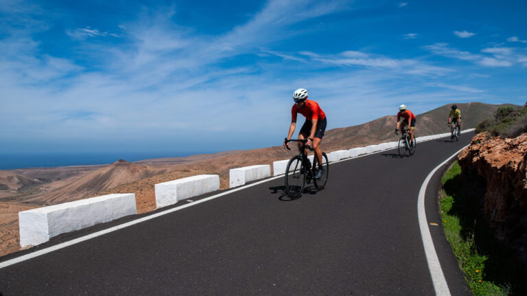
Along the Corralejo–Lajares volcanic chain, a signposted volcanic trail offers fascinating geological insights into the rugged surroundings. The route can be explored both on foot and by bicycle – a rare privilege in such a natural area.
The most popular volcanic hike on Fuerteventura leads from Lajares to Corralejo (or in the reverse direction) along the various craters. Those who walk slowly, who look and listen, will discover more than just lava and rock.
Practical tip: Sturdy footwear is strongly recommended due to the loose lava rock and the often powerful trade winds at the crater rim.
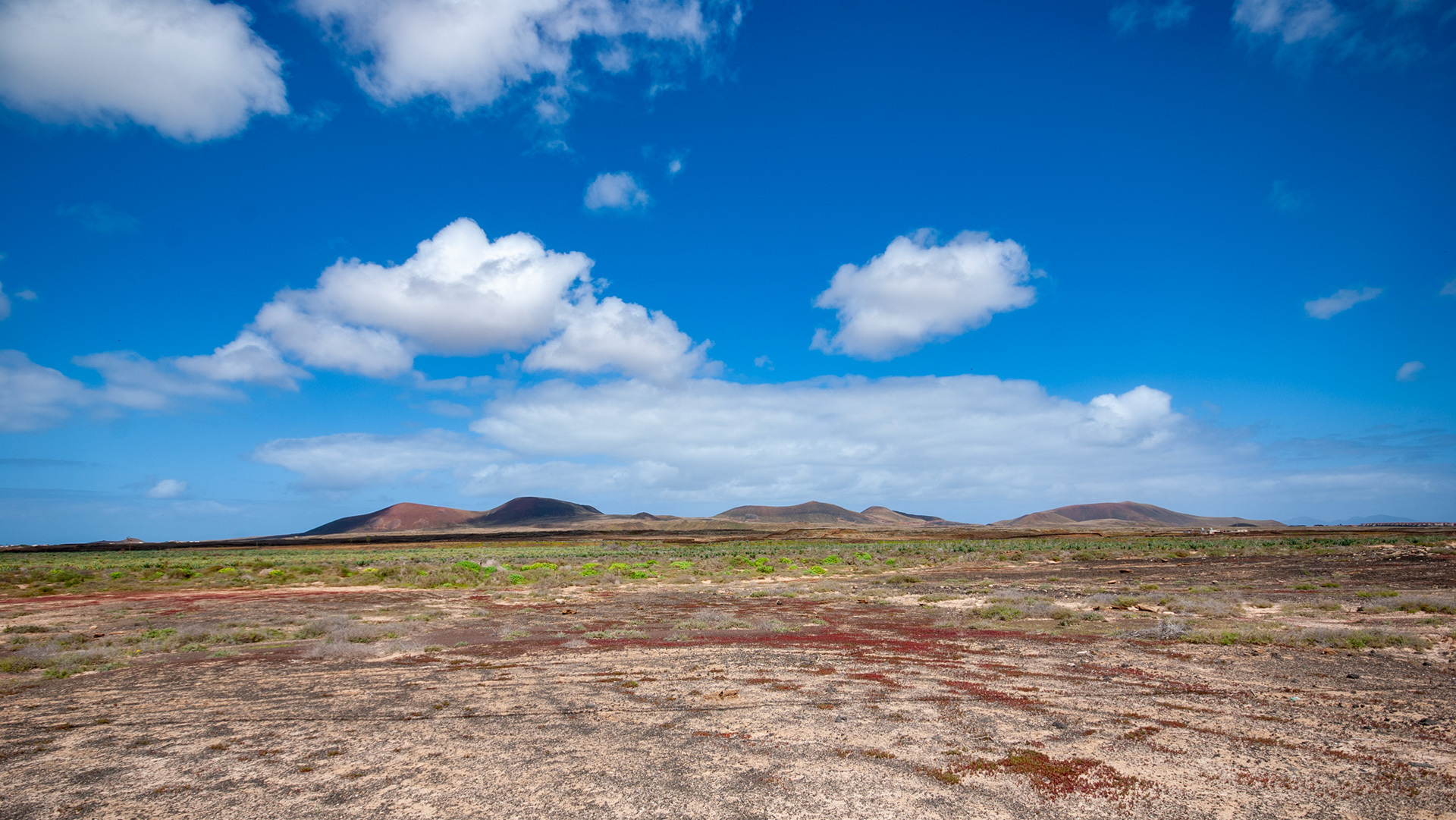
Flora and Fauna – Life on the Lava Field
As barren as the lava desert in northern Fuerteventura may appear, it is not a lifeless place. The vegetation consists of specialised pioneer plants: the grey-silver volcanic lichen covers the black rock, while the vivid orange wall lichen adds splashes of colour. Among them grow low-growing herbs, shrubs and moss – all species that have learnt to cope with drought, wind and sparse soil.
The crater areas are also home to the surprisingly approachable Barbary ground squirrels, which bustle about between the lava chunks. Birds of prey circle high above the craters – kestrels and buzzards making use of the vast panorama.
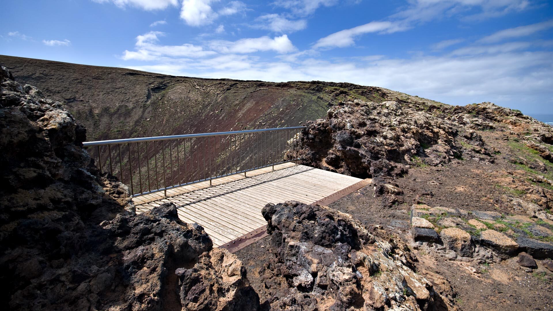
Two Viewpoints, Two Perspectives
The volcanic chain near Corralejo offers two official viewing platforms, each reachable via separate paths:
Both points can be reached independently of each other and can easily be incorporated into a hiking tour through the Bayuyo Formation.
Getting to the Volcanic Chain
Two starting points are recommended for the hike through Fuerteventura’s volcanic chain:
To Corralejo: The town in the north of the island is easily reached via the FV-1 or FV-101 roads.
To Lajares: Access is via the FV-101 or the FV-10 – a small village that is perfectly suited as a quiet starting point for hikes.
Conclusion: Fuerteventura’s North – Raw, Unspoilt, Unforgettable
The volcanic chain near Corralejo is not a place for passing through quickly. It is a place to pause. Here every stone tells of a past that stretches back millions of years, and every breath of wind carries the expanse of the Atlantic within it. Those who have once crossed the Bayuyo Formation on foot understand Fuerteventura in a way that no beach in the world can convey.
The north awaits – with fire in the ground and peace in the heart.