Parque Rural de Betancuria – Where Fuerteventura’s Soul Resides
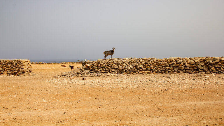
There are places where you feel time has held its breath. The Parque Rural de Betancuria in the central-western part of Fuerteventura is one such place. Those who come here enter a landscape that refuses the mass tourism of the coast – a world of ochre-coloured mountains, silent ravines and villages where goats still outnumber hire cars on the roads.
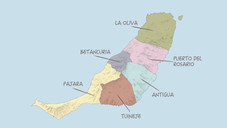
Covering 16,544 hectares – roughly ten per cent of the entire island – this natural park spans the municipality of Betancuria as well as parts of Puerto del Rosario, Antigua, Pájara and Tuineje. As a Parque Rural, or rural landscape park, the area is less strictly protected than a nature reserve: traditional settlement and farming are expressly permitted, lending the region a vibrant, unspoilt atmosphere that many other protected areas lack.
A Natural Jewel with Deep Geological History
What makes the Betancuria Fuerteventura natural park so extraordinary is its geological significance. Here lie the oldest rock formations in the Canary Islands: the limestone sediments of Ajuy, millions of years old, stacked into cliffs that the sea rewrites daily. The island’s basal complex surfaces here, threaded through with ancient lava flows – an open book of Earth’s history, waiting to be leafed through.
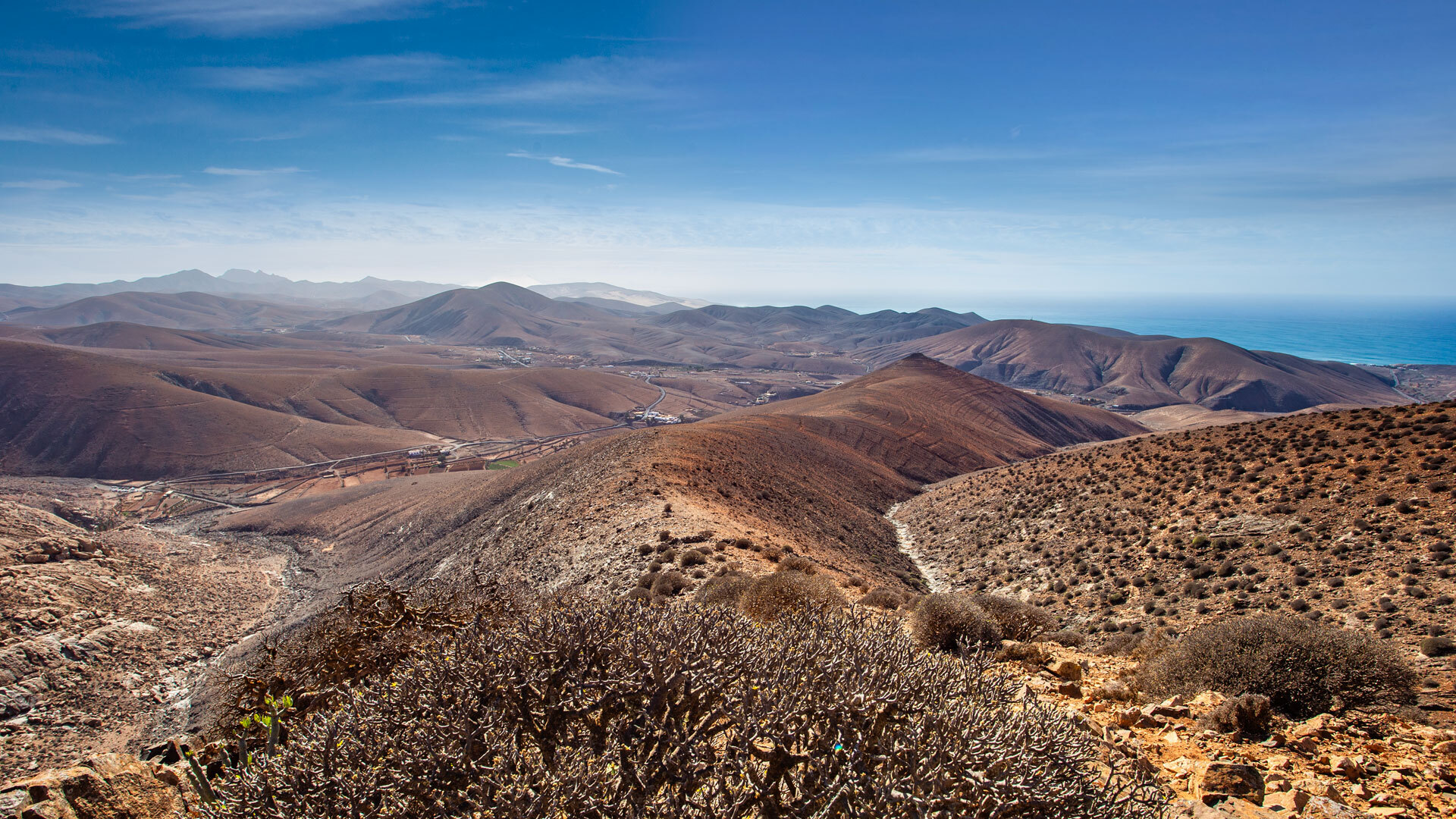
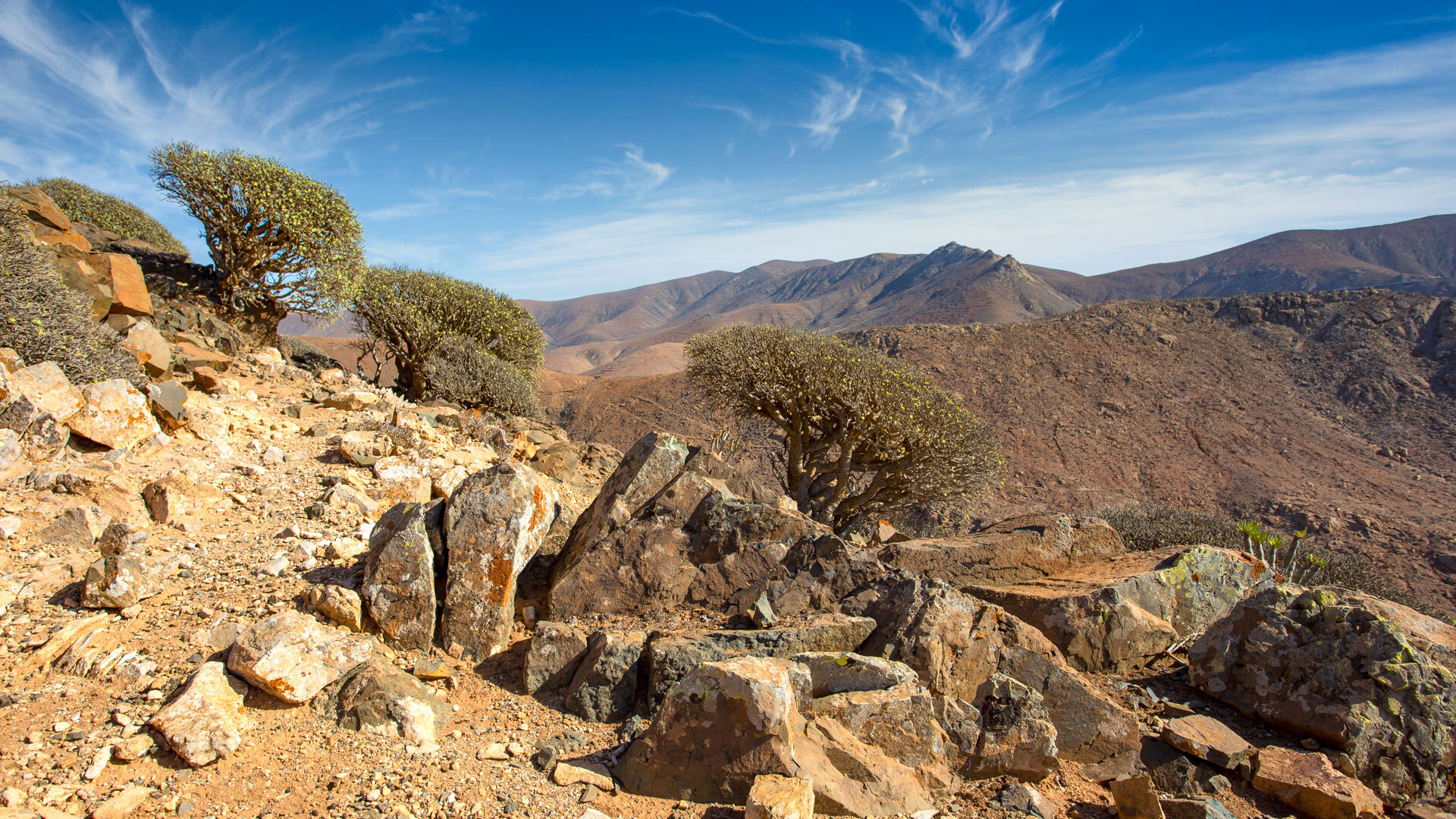
At first glance the landscape may seem barren. The mountains shimmer in shades of brown, terracotta and soft grey. Yet look more closely and you discover a rare mountain flora of mosses, lichens and shrubs tucking itself into rock crevices. In spring, colour bursts forth unexpectedly: green patches and vivid blooms transform the apparent wasteland into a quiet flowering wonder.
The bird sanctuary within the Parque Rural de Betancuria is home to numerous migratory and endemic species. Those who are lucky may spot a kestrel hovering motionless above a ridgeline, as though it were a part of the air itself.
The FV-30: A Road Like a Poem
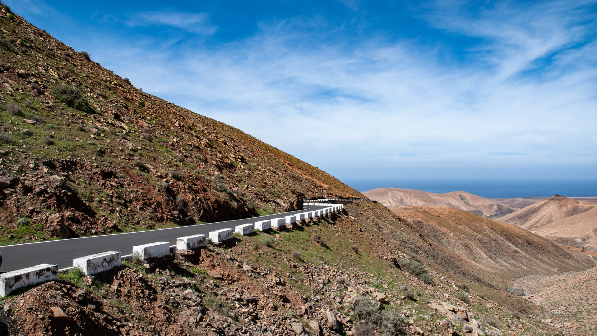
You drive along the FV-30 and every bend opens a new stage. The road traverses the heart of the park and is lined with viewpoints that invite you to pause – not out of obligation, but because you simply don’t want to drive on.
North of Betancuria, the Mirador de Morro Velosa perches atop the summit like an eagle’s eyrie. The manor house with its café invites you to savour the panorama over the Parque Rural de Betancuria through large pane windows or with binoculars on the viewing terrace. Further towards Betancuria, perhaps the finest view of the island’s former capital opens up – a sight that burns itself into the memory.
At the car parks along the road you encounter agile Barbary ground squirrels, originally from Morocco and introduced to Fuerteventura in the 1960s. They dart between rocky outcrops and take nuts from your hand – an unexpected wildlife encounter that delights children especially.
Las Peñitas: The Heart of the Park
Among the most impressive regions within the Betancuria nature reserve is Las Peñitas. Here gentle hills meet sheer ravines, and the peaks of Morro Velosa (669 m), Morro de la Cruz (676 m) and Gran Montaña (708 m) frame the scene like stone sentinels. A palette of warm earth colours and unexpected greens lends the landscape an almost painterly quality.
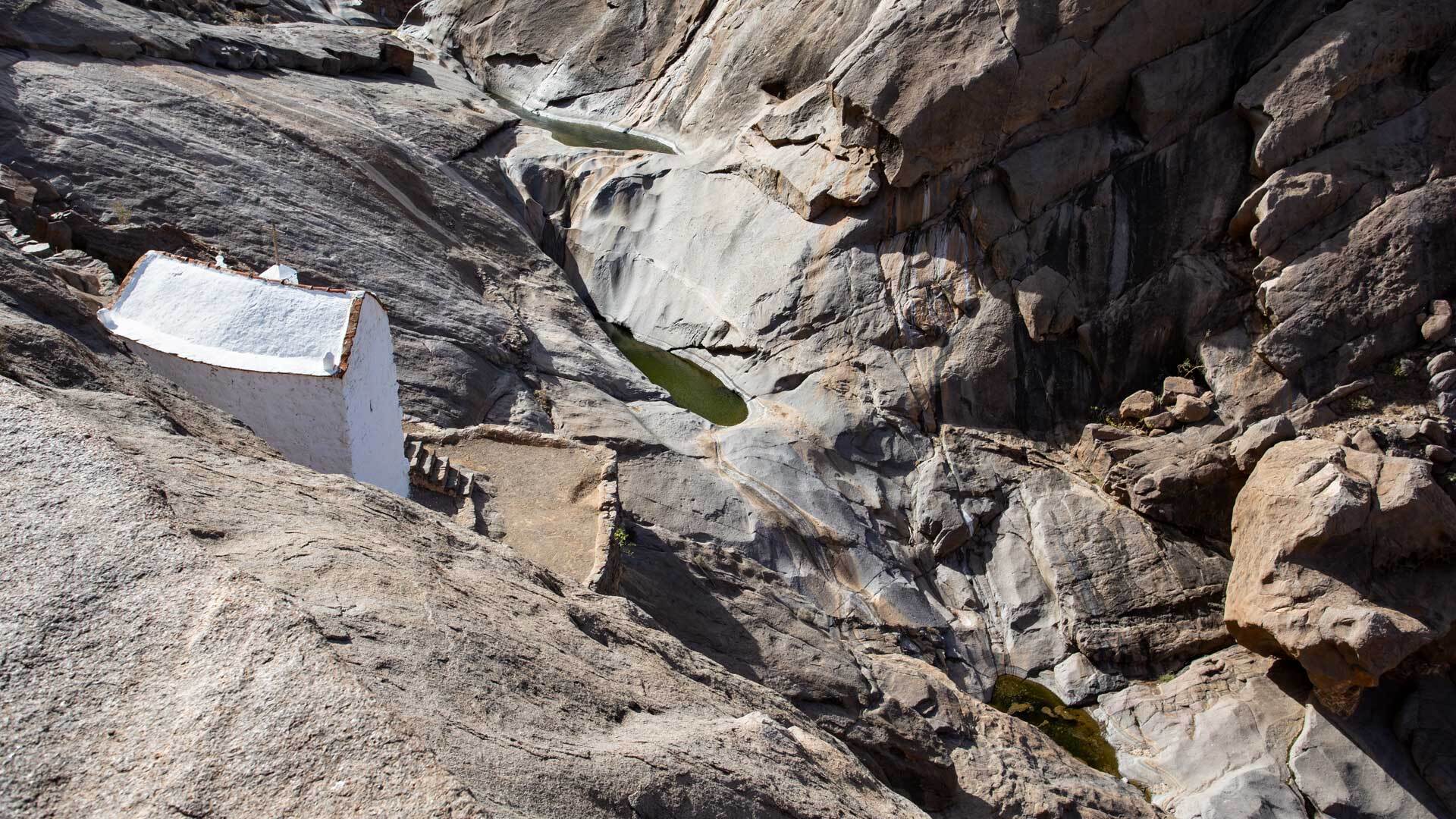
In the Barranco de Malpaso, the gorge that cuts through Las Peñitas, stands the Ermita de la Peña – one of the island’s oldest chapels, dating from the 15th century. According to legend, two Franciscan monks noticed a strange glow in the rock face, dug into it and found the statue of the Virgen de la Peña, Fuerteventura’s patron saint. The Madonna was later moved to the more easily accessible Vega de Río Palmas, yet the little chapel in the barranco has lost none of its mystical aura.
At the end of the Camino de Buen Paso (FV-627) begins the path to the Arco de las Peñitas – a natural rock arch shaped by thousands of years of wind. The walk through the Barranco de Malpaso is one of the finest footpaths in the entire Parque Rural. Those with time should walk it.
Arco del Jurado: Where the Sea Sculpts
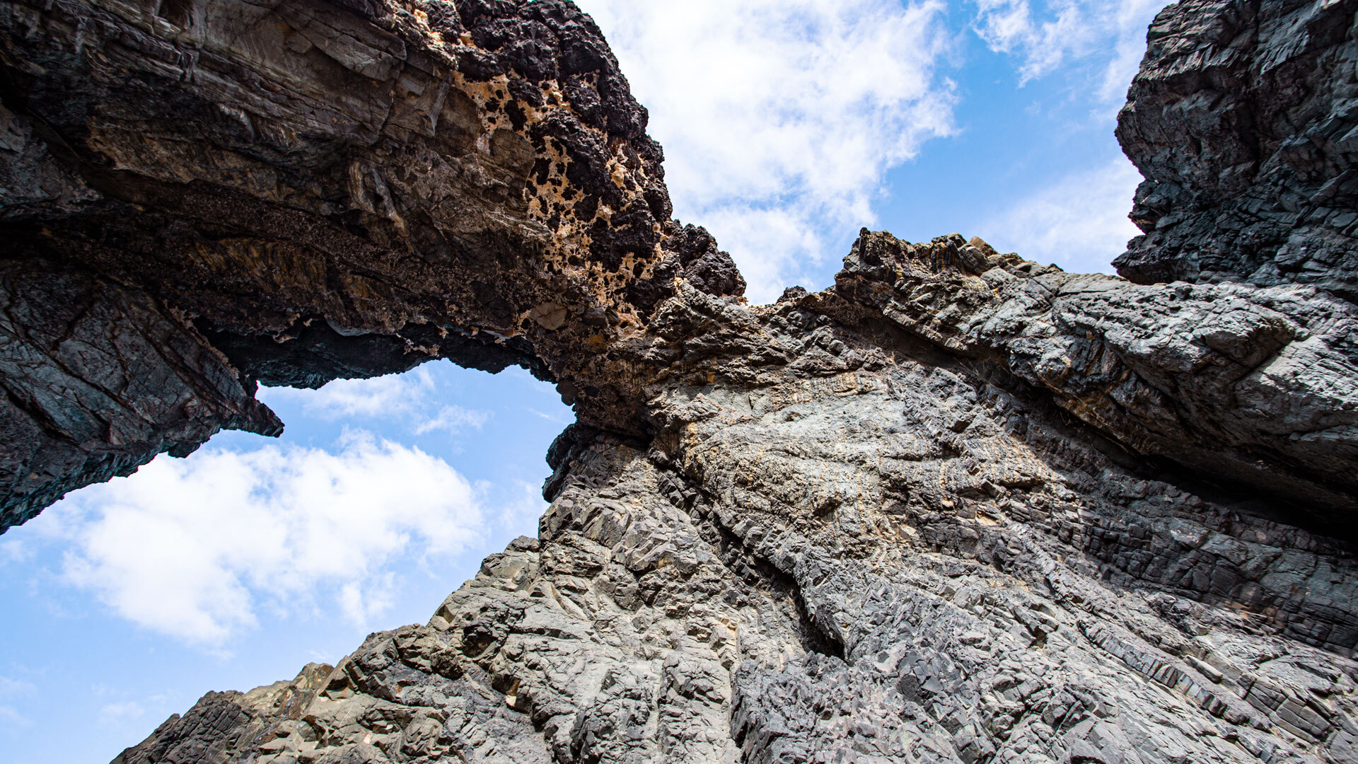
On the west coast another spectacle awaits: the Arco del Jurado, also known as Peña Horadada – ‘the pierced rock’. At high tide, Atlantic waves slam with full force against the dark stone, and through the rock arch the vast ocean opens up. An image of archaic power.
From the small coastal village of Ajuy, a 2.5-kilometre coastal footpath leads directly to the formation. The morning walk is particularly recommended, when the light is still low and the colours glow. Ajuy itself – a black-sand-beach village with a historic past, founded in the 15th century by Jean de Béthencourt – is worth a visit in its own right.
Close to the village lies the natural monument Las Cuevas de Ajuy, a protected area since 1987. The caves, formed by lava flows from inactive volcanoes, invite exploration. A torch and sturdy footwear are advisable.
Betancuria: A Town Under Heritage Protection
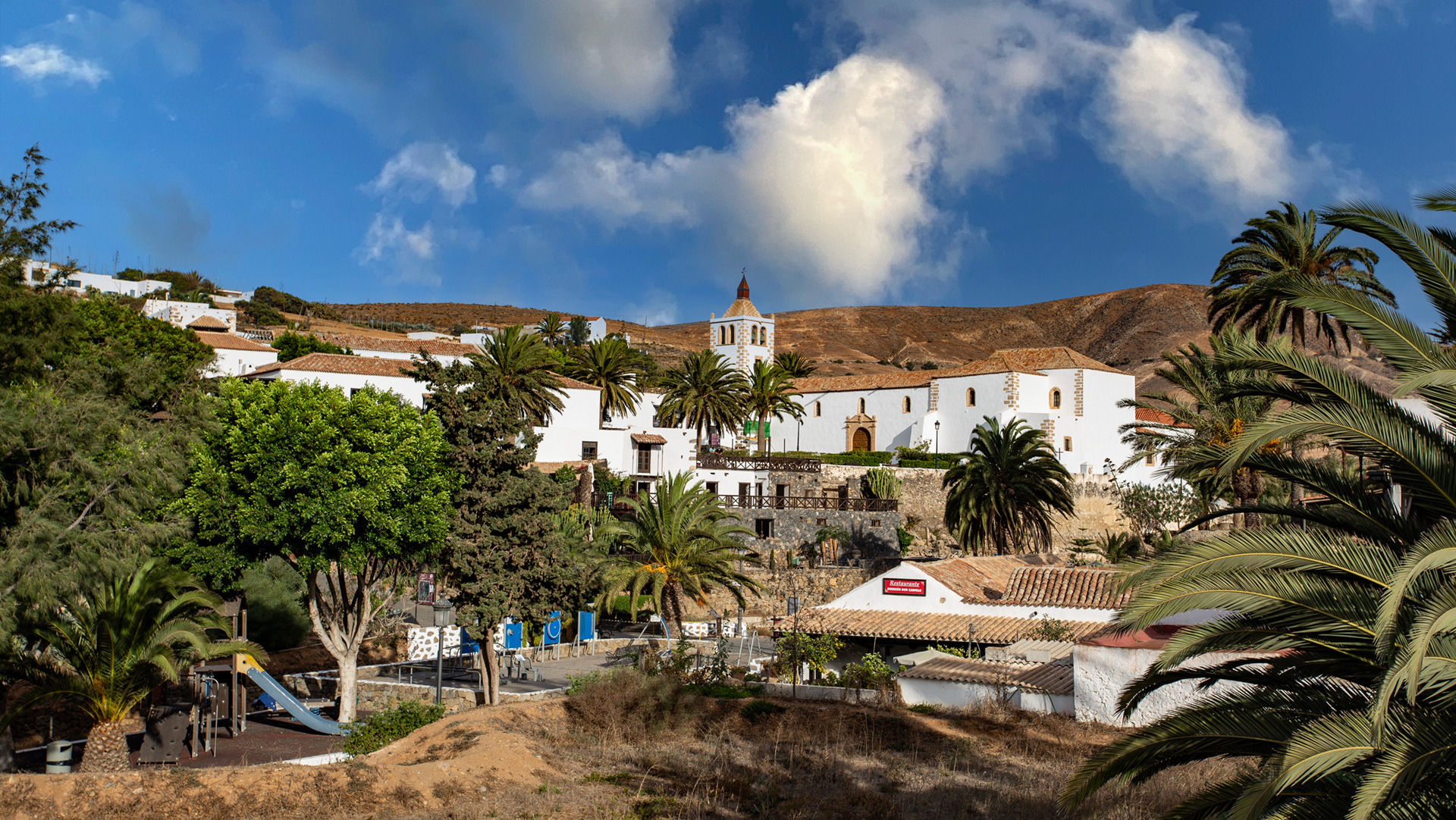
Anyone visiting the Parque Rural de Betancuria cannot pass by the town of the same name. Betancuria – founded in 1405 by Jean de Béthencourt and today home to barely 200 inhabitants – lies nestled in a sheltering valley. Palms, tamarisks, small gardens and whitewashed tile-fronted cottages create a picture that stays with you long afterwards.
The mountain walls once protected the village from the north winds – and from pirates. Even so, Betancuria was raided in 1593 by Xabán Arráez, largely destroyed and its inhabitants taken as slaves. In 1835 the town definitively lost its status as the island’s capital. Today the entire settlement is a listed heritage site.
Along Calle Roberto Roldán you can discover houses from the founding era. The carved wooden balconies of the two-storey manor houses, the window surrounds and the sculpture of Saint Catherine in the Iglesia Santa María – all of it speaks of Norman settlers and former prosperity. An afternoon visit is advisable: by then the tour coaches have long since departed, and you have the alleyways almost entirely to yourself.
Vega de Río Palmas: The Island’s Most Water-Rich Valley
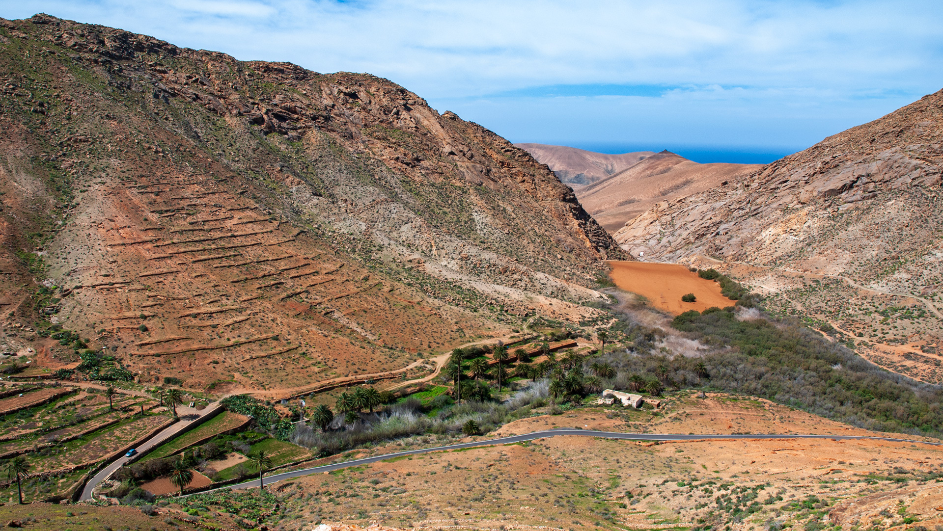
A few kilometres south-west of Betancuria, the valley of Vega de Río Palmas – »meadow of the river of palms« – opens out, the most water-rich valley on this otherwise arid island. Terraced fields of potatoes, vegetables and pulses line the way. Palms sway in the breeze. Life here still follows the old rhythm.
In the 1940s the Embalse de las Peñitas reservoir was built to collect water. Today the basin has silted up and transformed into a quiet biotope – reeds, tamarisks, frogs and migratory birds have taken possession of it.
The centrepiece of the village is the Iglesia Nuestra Señora de la Peña church, dating from the 17th century. Here the 23-centimetre statue of the Virgen de la Peña is kept – revered across the entire island, drawing pilgrims from everywhere. Every year on the third Sunday of September, a great procession transforms the quiet village into a celebration that brings the whole island together.
If you’re feeling peckish: a rustic restaurant in an old farmhouse serves traditional Majorero cuisine and local wine – that’s all you need for a perfect afternoon.
Barranco de la Madre del Agua: A Hidden Oasis
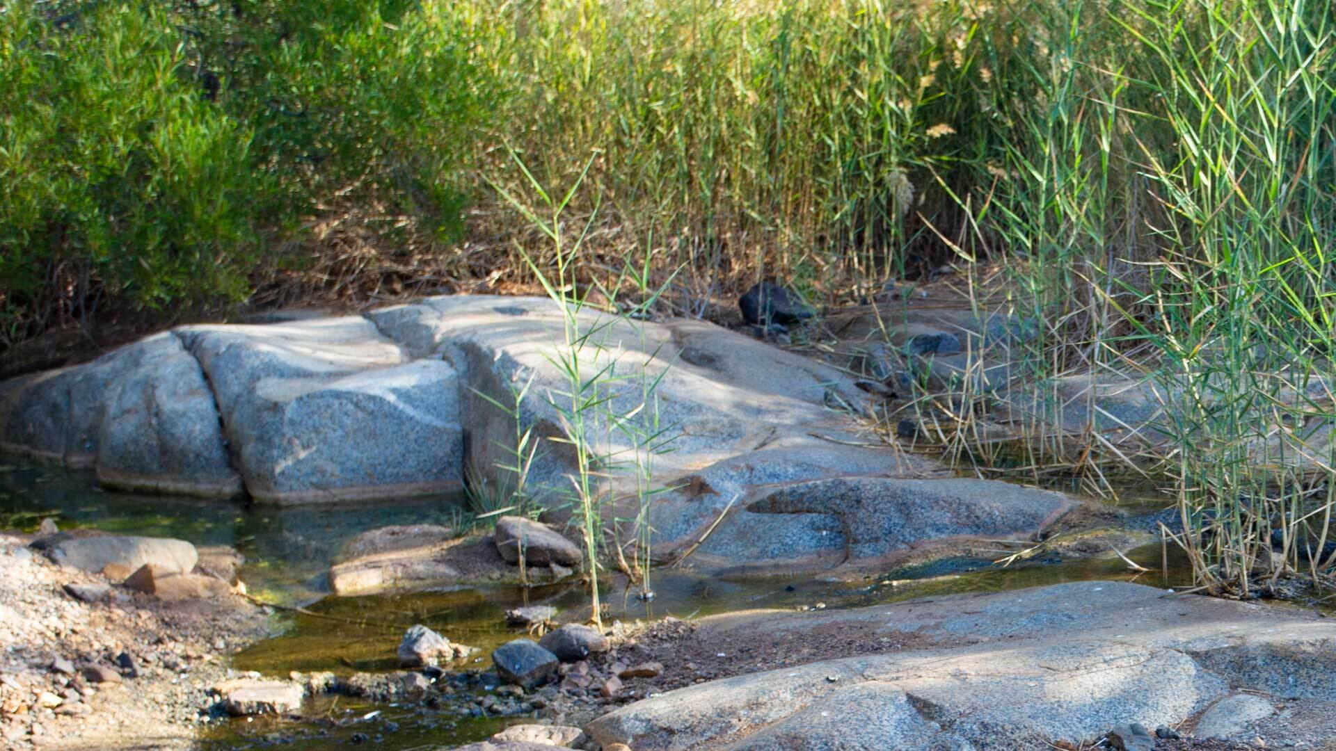
About two kilometres from Ajuy, the Barranco de la Madre del Agua – »Mother of Water« – lies hidden, a green oasis without equal on Fuerteventura. Palms, reeds, a year-round trickling stream. Frogs croak. Birds call. It is a place that promises nothing – and gives everything.
The spring pool in the upper part of the valley, where water seeps from the rock face and which gave the barranco its name, is said to have been venerated by the island’s original inhabitants as a sacred site of a female deity. That sense of reverence still hangs in the air.
From the FV-621 coming from Ajuy, a narrow tarmac road leads down into the valley after roughly two kilometres. Those who take it find a tamarisk woodland at the valley floor – and beyond it, silence.
Flora: When Barrenness Blooms
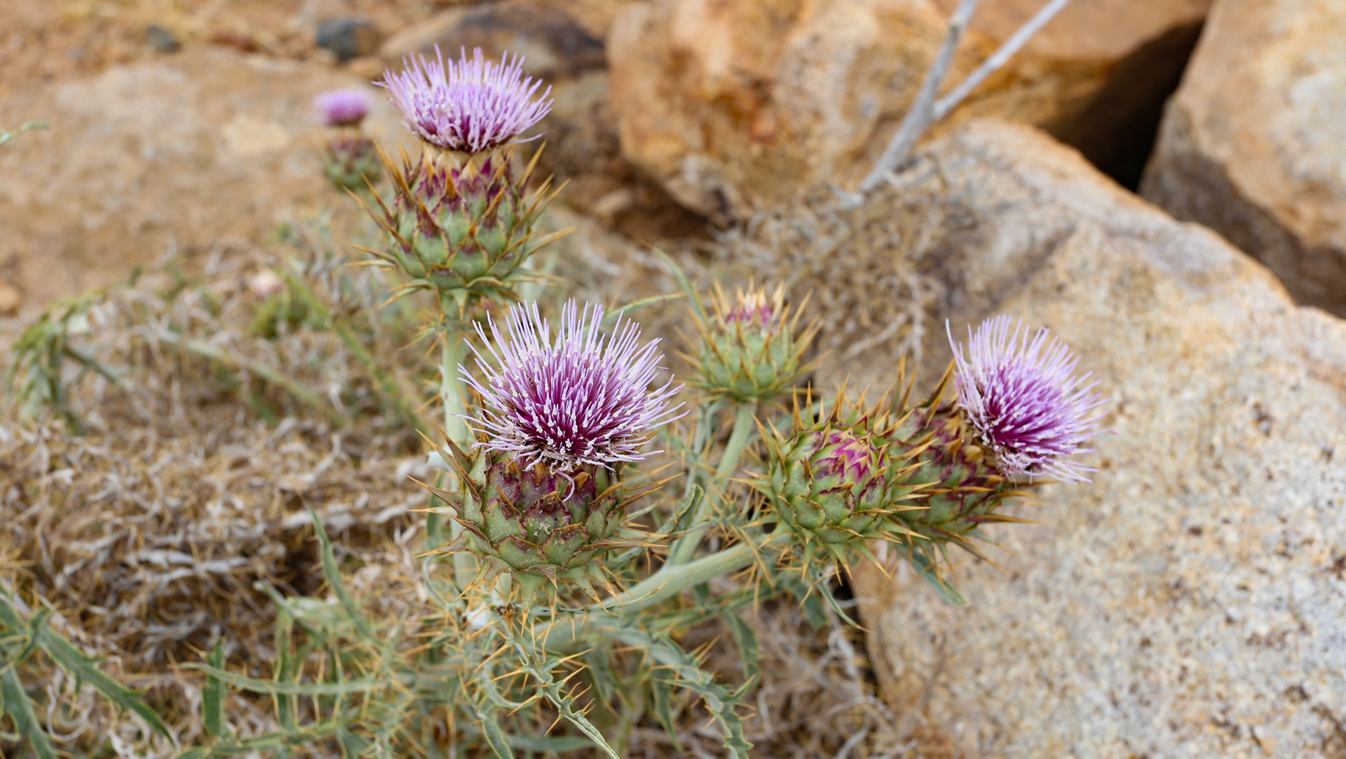
The Parque Rural de Betancuria is home to a surprisingly rich flora. The Verol (Kleinia neriifolia), an endemic plant with a succulent trunk and white flowers, grows on rocky ledges. Cosco and Barrilla – both salt plants – were traditionally used by the island’s original inhabitants to make gofio and soda.
At lower elevations, broom, tabaibas, saltcedar and thistles dominate. Higher up, where the wind grows sharper, mosses and lichens cling to the rock crevices. The Pinar de Betancuria, a small pine wood, adds a green accent to the earth-brown landscape. Introduced species such as the tree tobacco (Nicotiana glauca) can also be found.
Practical Information for Your Visit
The Parque Rural de Betancuria is accessible throughout the year. The core area can be comfortably crossed by car along the FV-30. For walks, sturdy footwear, sun protection and plenty of water are recommended – the Fuerteventura sun shows no mercy.
Those wishing to visit the Vega de Río Palmas valley should turn off the FV-30 onto the FV-323. The Arco del Jurado is reached on foot from Ajuy. The Barranco de la Madre del Agua via the FV-621.
One last tip: Betancuria in the afternoon, the ravines in the morning – that is how you experience the park in its most undisturbed form.