The GR 131 Fuerteventura – Where the Island Tells Its Own Story
There are paths you walk. And there are paths that carry you. The GR 131 on Fuerteventura belongs to the second kind. Those who set foot on it step into another time – into a landscape that falls silent and speaks loudly at once: from cooled lava, from white sand, from the eternal wind that has shaped this island like a patient sculptor.
The Camino Natural de Fuerteventura, as the long-distance trail GR 131 is officially known, stretches approximately 152 to 169 kilometres – from the small, uninhabited Isla de Lobos in the far north to the lighthouse at Punta de Jandía in the deep south. Nine stages. One island. One story.
A Trail That Spans an Entire Island
The route forms part of the European long-distance trail E7, which links all the Canary Islands – a thought that resonates during the walk like a quiet song. Those who hike the GR 131 Fuerteventura move not merely through a landscape, but through an archipelago of stories, cultures and geology.
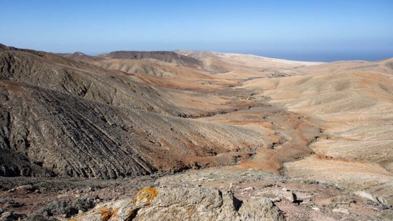
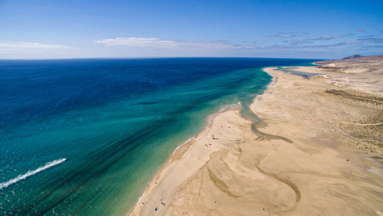
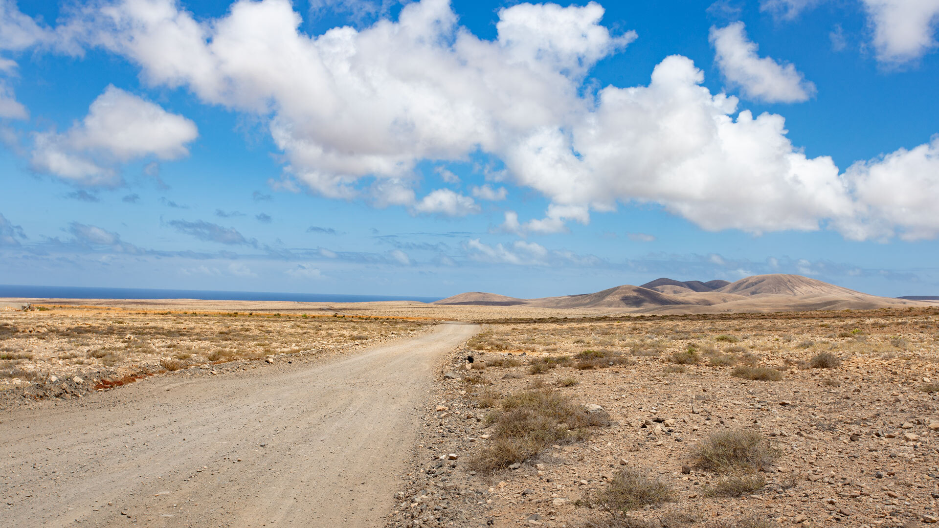
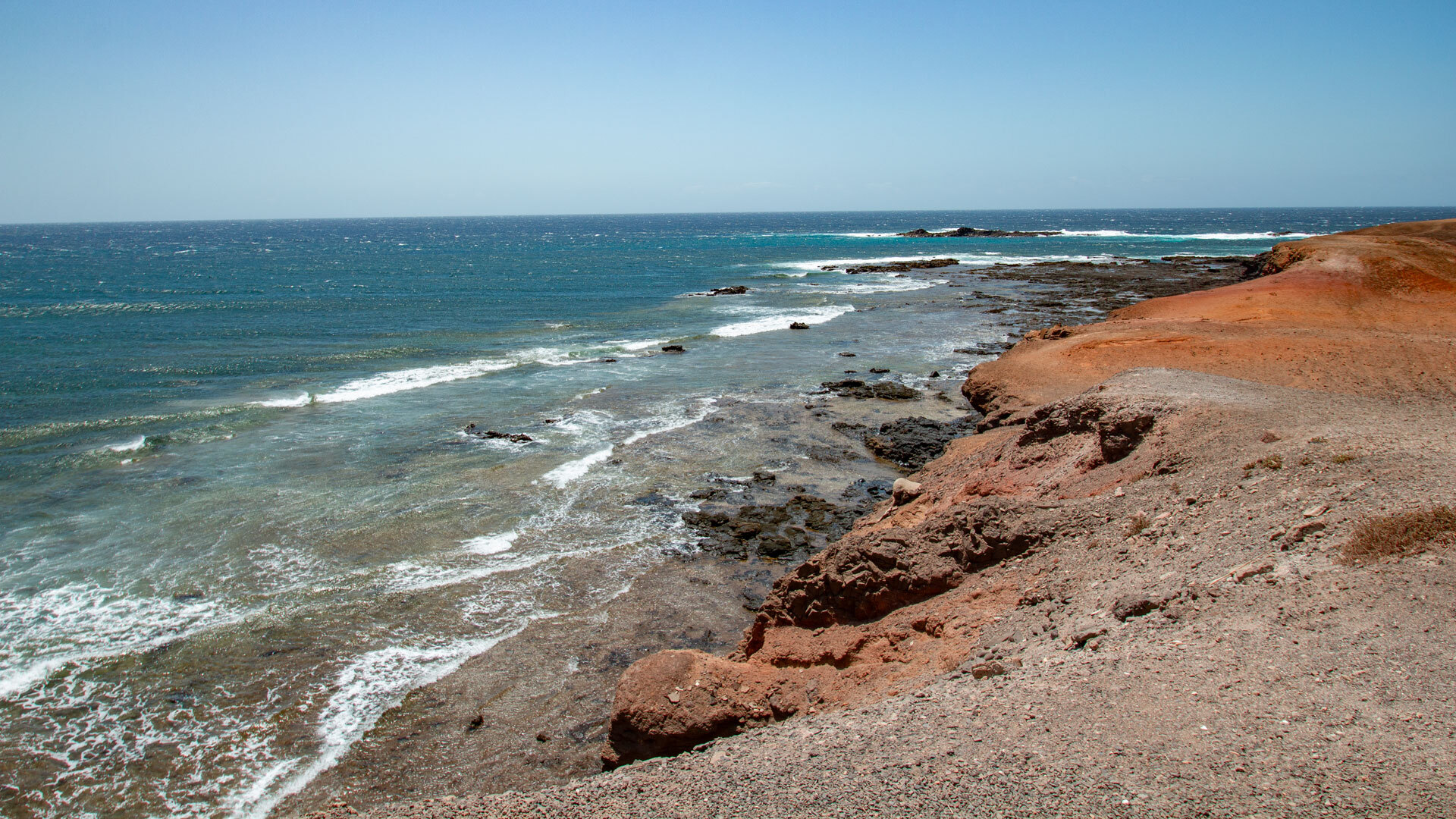
Fuerteventura’s semi-arid landscape can be experienced here in all its uncompromising nature. There is hardly any shade. Barely any green. Instead: golden dunes shifting in the light. Turquoise water shimmering on the horizon. Volcanic wasteland so barren and yet so beautiful that you instinctively slow your pace.
The 9 Stages of the GR 131 at a Glance
Stage 1 – Islote de Lobos: The Silent Isle
A ferry from Corralejo brings you to the small island of Lobos, which marks the official starting point of the GR 131 hiking trail. A circular path leads to the lighthouse of Martiño – through a silence you can almost hear.
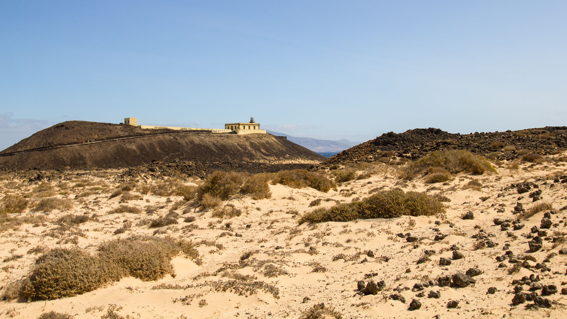
Stage 2 – Corralejo to La Oliva: Through the Malpaís de la Arena
The hike from Corralejo to La Oliva passes through the volcanic hinterland of the north. The Malpaís de la Arena – black lava fields as far as the eye can see – lends the route its surreal character.
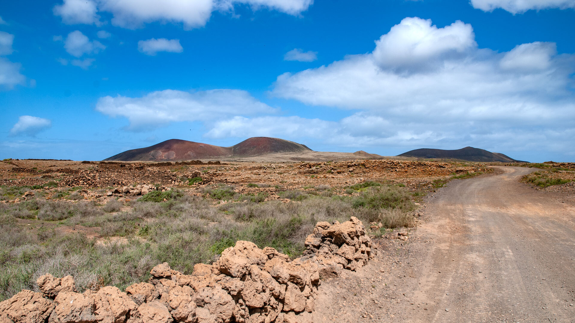
Stage 3 – La Oliva to Tefía: At the Foot of the Sacred Mountain Tindaya
Windmills by the wayside, dry desert landscape and the mighty Tindaya mountain, which was revered as sacred by the original inhabitants of Fuerteventura – this stage combines nature and history in a particularly special way.
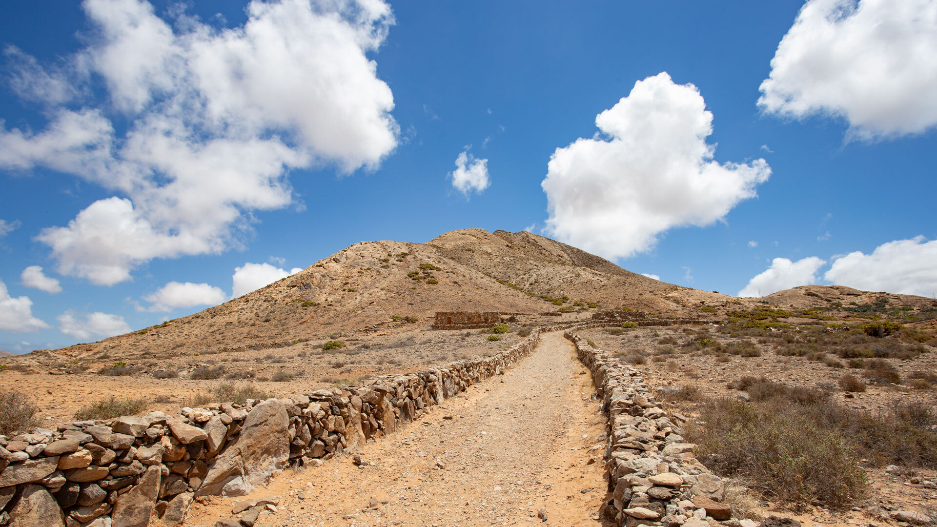
Stage 4 – Tefía to Betancuria: Into the Historic Capital
The ascent into the central massif opens up views of the island’s interior. Betancuria, the oldest and most picturesque town on Fuerteventura, greets the hiker with green oases, historic architecture and a tranquillity that is most welcome after many kilometres on the trail.
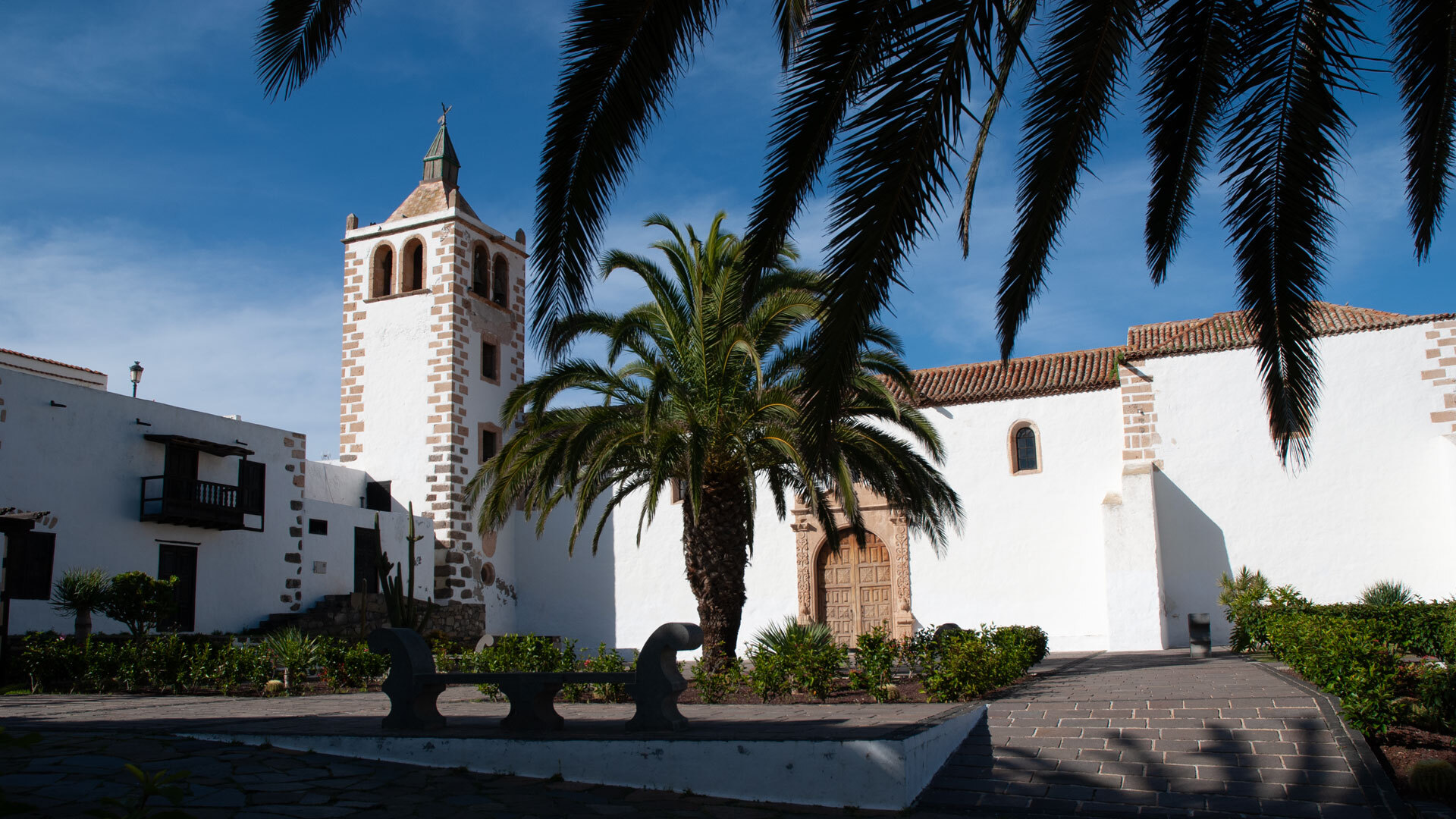
Stage 5 – Betancuria to Pájara: Across the Betancuria Massif
Perhaps the most mountainous stage of the entire GR 131 route: the path crosses the Betancuria Massif, offering spectacular views over the barren island interior and serving as a reminder that Fuerteventura is far more than beaches and sunshine.
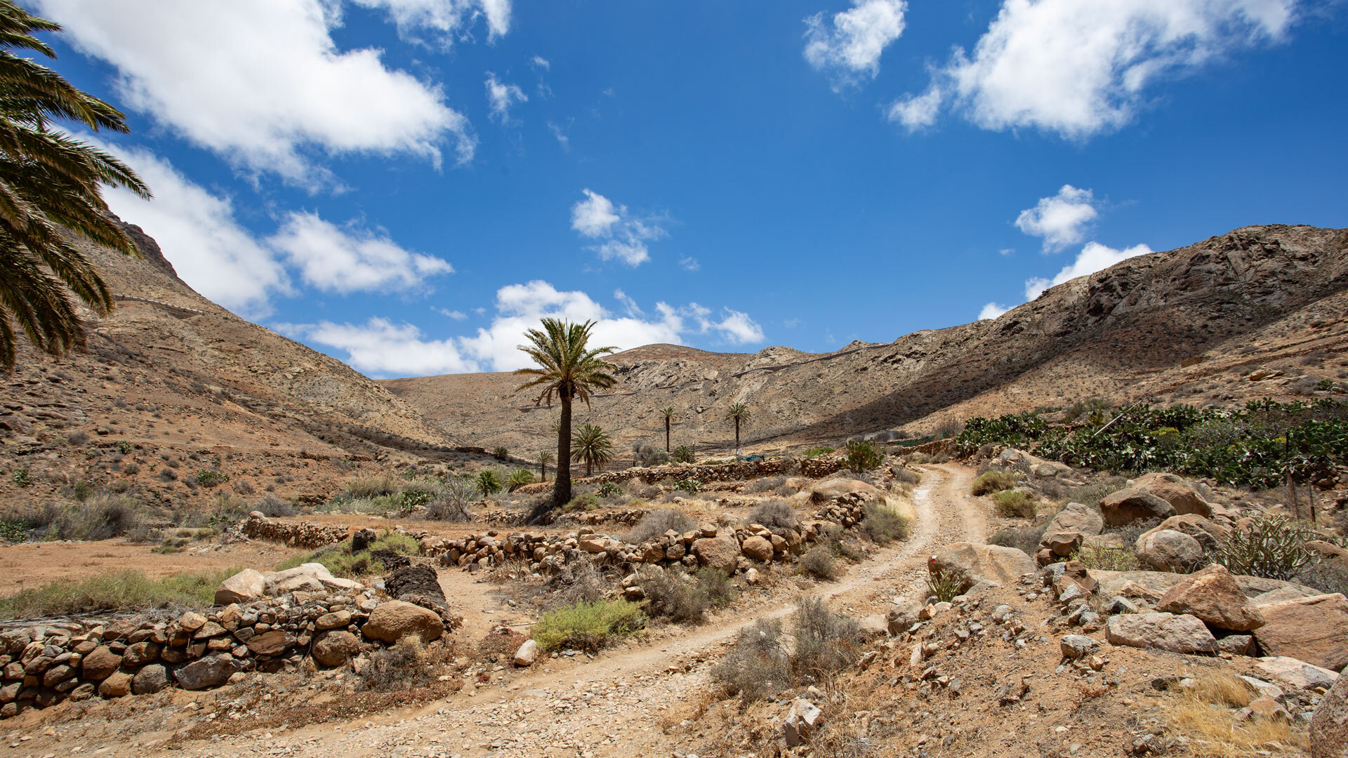
Stage 6 – Pájara to La Pared: On the Borderline of Two Kingdoms
On this historically significant section, you walk literally between two worlds: La Pared marks the narrowest point of the island – once the border between the historic kingdoms of Maxorata and Jandía.
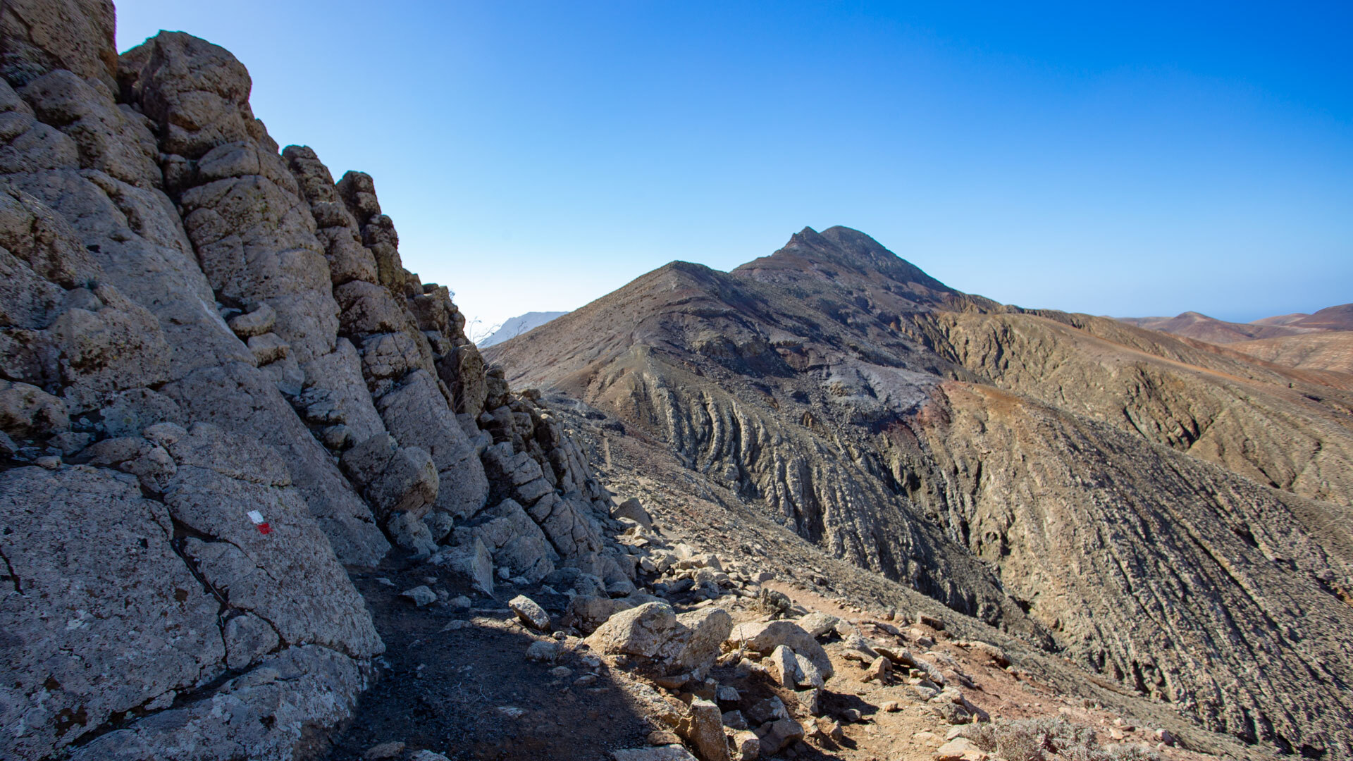
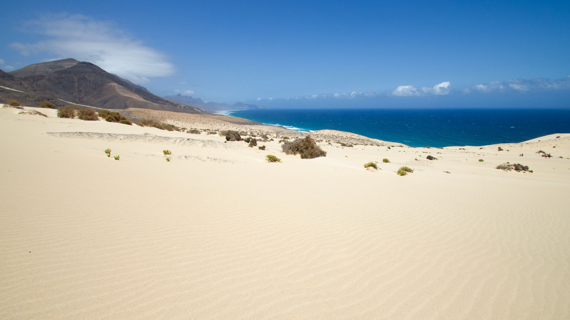
Stage 7 – La Pared to Risco del Paso: Through the Sand Dunes of El Jable
The sand dunes of El Jable transform the landscape into something dreamlike. You feel as though you are walking in another world – and in a sense, you are. The wind draws patterns in the sand that have already vanished with the next breath.
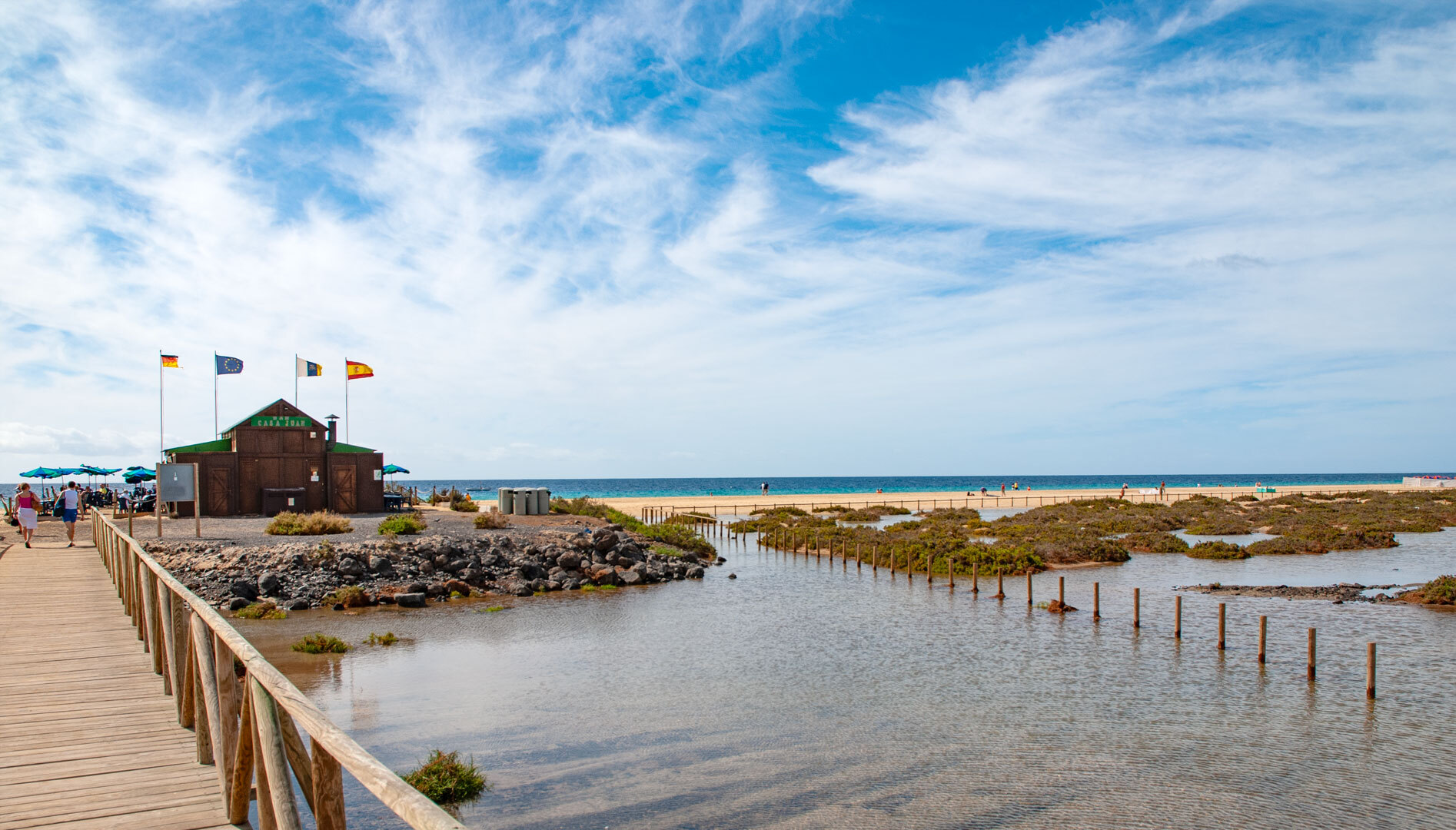
Stage 8 – Risco del Paso to Morro Jable: Along Turquoise-Shimmering Beaches
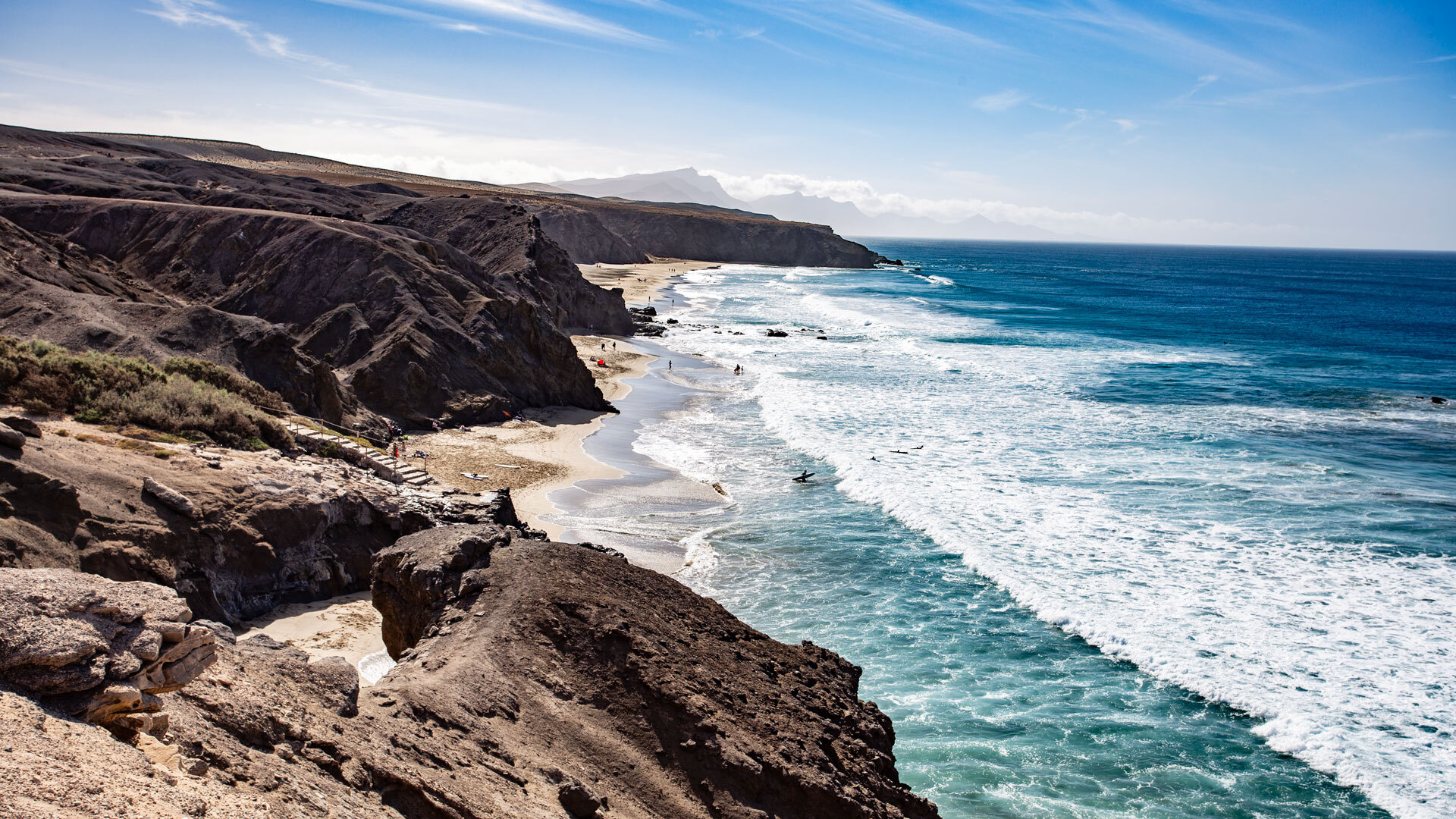
The south-east coast of the Jandía Peninsula shows Fuerteventura at its most beautiful. Turquoise-shimmering lagoons, white sandy beach, the silhouette of Morro Jable on the horizon – this stage rewards every step.
Stage 9 – Morro Jable to Punta de Jandía: The Wild End of the World
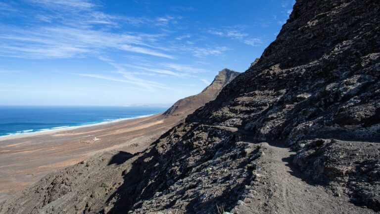
The finale of the Camino Natural de Fuerteventura leads through the remote Jandía Nature Reserve to the southernmost tip of the island. At the Punta de Jandía lighthouse, the trail ends – and you stand at the edge of something that is difficult to put into words.
Planning and Tips for the GR 131 Fuerteventura
Best Time to Travel
The ideal months for hiking on Fuerteventura are October to May. Temperatures are moderate, the air is clear, and the light is golden. In summer, the heat on the shadeless stretches can become a genuine danger.
Equipment and Water
The GR 131 passes through long stretches of entirely shadeless volcanic and desert landscape. At least 3 litres of water per day, good sun protection and sturdy hiking boots are not merely a recommendation – they are essential.
Logistics and Accommodation
Accommodation directly on the trail is scarce in some sections. Particularly around Tefía, many hikers use the local bus network to return to more centrally located overnight stops. Recommended bases include Villa Cecilio in Tefía and Villa Vital in Antigua as comfortable starting points for the middle stages.
Route Length and Flexibility
Officially, the Fuerteventura long-distance trail is divided into 9 stages. Those who balance time and fitness can also plan the route as a 6-day tour – with appropriately adjusted daily stages.
Why the GR 131 Fuerteventura Is Unforgettable
Those wishing to explore all nine stages in detail – with GPS data, precise elevation profiles and the option to customise the route individually using the 3D route planner – will find the complete digital companion to the GR 131 Camino Natural de Fuerteventura at sunhikes.com. Each stage is presented there interactively, so the tour can be flexibly adapted to one’s own fitness and plans – even before taking the first step.
It is not an easy path. But it is an honest one. The GR 131 Camino Natural de Fuerteventura shows the island as it truly is: rugged, vast, endlessly beautiful. You do not merely get to know Fuerteventura here – you understand it. Step by step. Stage by stage.
Those who have once walked this long-distance trail on Fuerteventura carry it with them. As a memory of a wind you never forget. And of a silence that is louder than anything else.