Fuerteventura: The Atlantic’s Oldest Wild
Africa? Almost. Canaries? Yes. But different.
Fuerteventura plays in a league of its own. No tourist-disco island, no tropical cliché – just 1,662 square kilometres of raw, unpolished beauty that couldn’t care less whether you understand it. Only 100 kilometres from the Moroccan coast, sitting on the 28th parallel north, it is the second-largest Canary Island and at the same time one of the flattest, windiest, driest. That’s not a bug – it’s a feature.
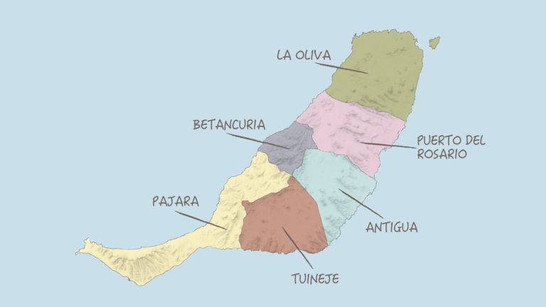
The island stretches roughly 100 kilometres from north to south-west, sometimes 31 kilometres wide, sometimes only five. At its narrowest point – the Istmo de la Pared – a slender strip of land connects the north (Maxorata) and the mountainous south (Jandía). Two worlds, one sandbar between them.
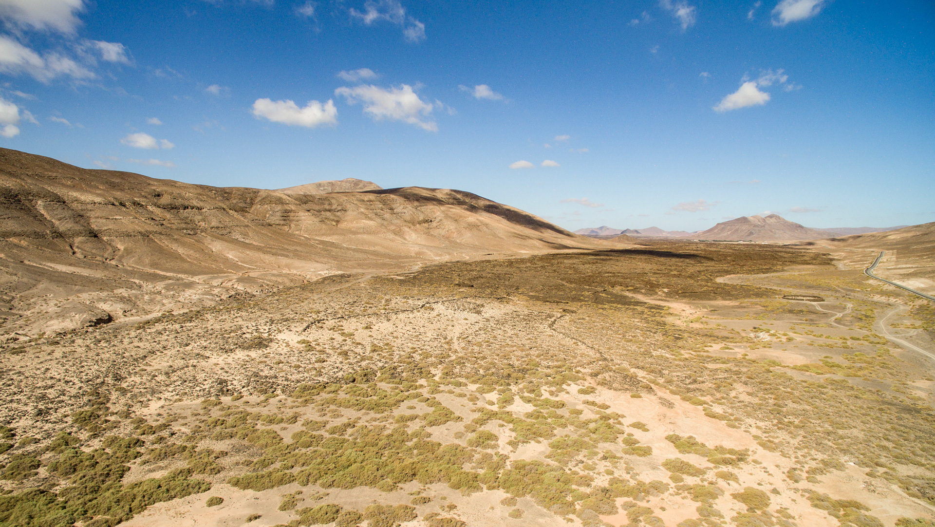
325 kilometres of coastline. 55 of them: pure gold.
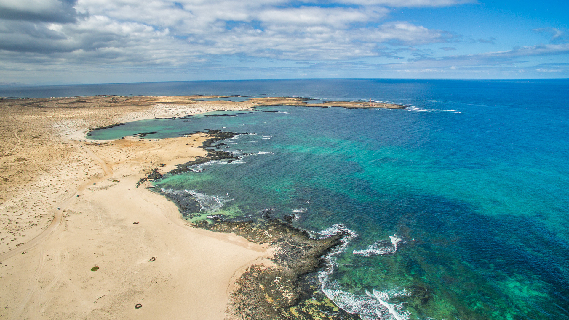
Fuerteventura’s coastline measures 325 kilometres. 55 of them are fine sandy beach – more than on any other Canary Island. The east coast is gentle, light-sanded, family-friendly. The west coast is the exact opposite: cliffs, dark sand, Atlantic surf without mercy. Surfers love it. Swimmers respect it.
Two kilometres off the north coast lies the island’s little sister: Isla de Lobos. Just 4.5 square kilometres, uninhabited, protected – and reachable in minutes from the port of Corralejo. A mini volcano in the middle of the sea, perfect for those who need a little more distance from the distance.
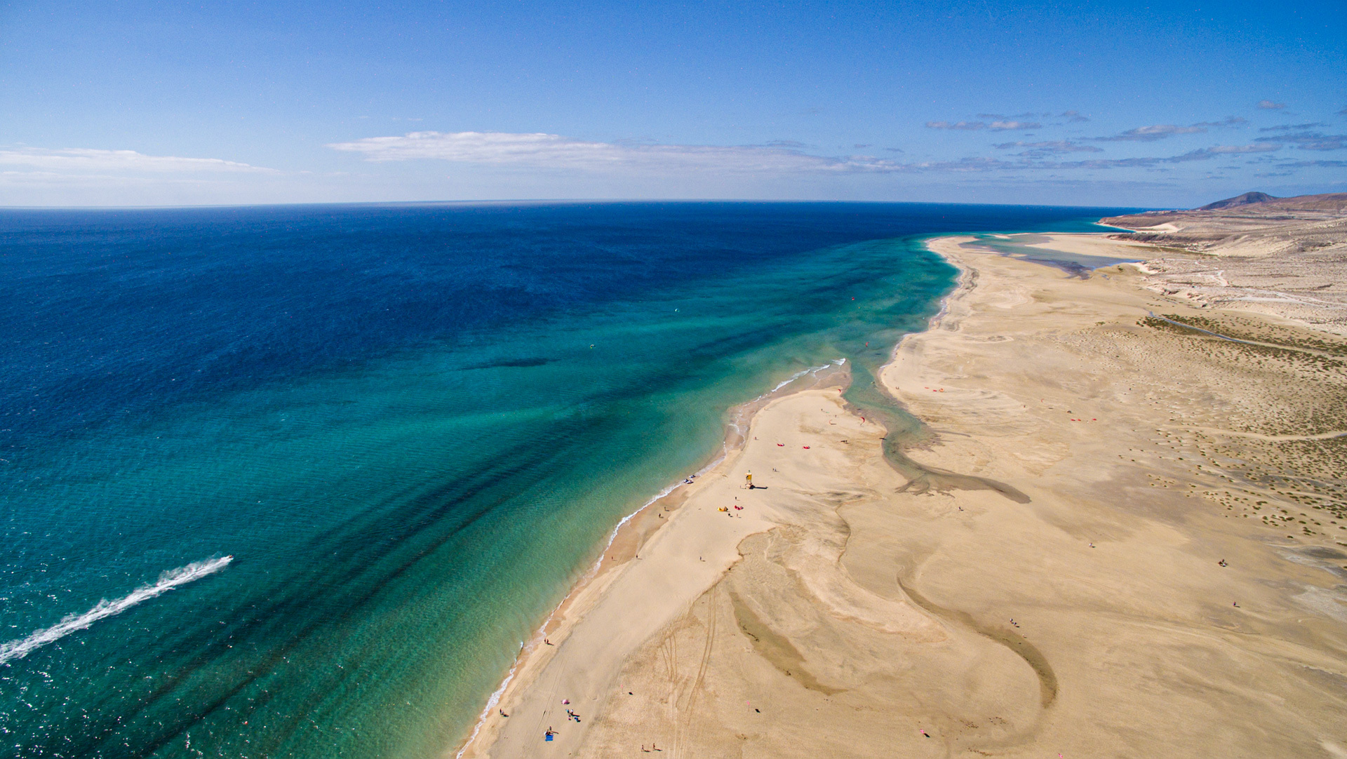
Four landscapes, four moods
Fuerteventura is no monoculture island. Anyone who drives through all its zones wonders whether they’re even on the same island.
The El Jable wandering dunes in the north near Corralejo are the opener – a vast, protected dune field of pale sand that, incidentally, does not come from the Sahara, but from ground shells, snails and coral. The sea has been piling it up for thousands of years. Very patient, the sea.
The central highlands around Betancuria and Antigua are the island’s quiet heartland: eroded hill ranges, wide plains, a few white houses. To the west, the terrain rises to up to 724 metres. The rest keeps its head down.
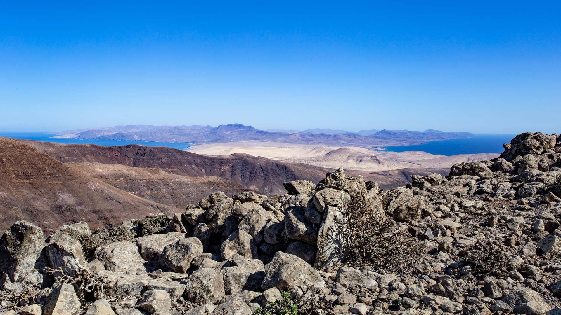
The Jandía Peninsula in the south is the untamed showstopper. Almost entirely a nature park, with the Pico de la Zarza (807 m) as the island’s highest point – and the remote west coast at Cofete, which feels like the end of the world. In the best possible sense.
Between them: the Malpaís. Solidified lava, jagged, dark, not quite ready to apologise. Some fields are only a few thousand years old. Geologically speaking: practically just happened.
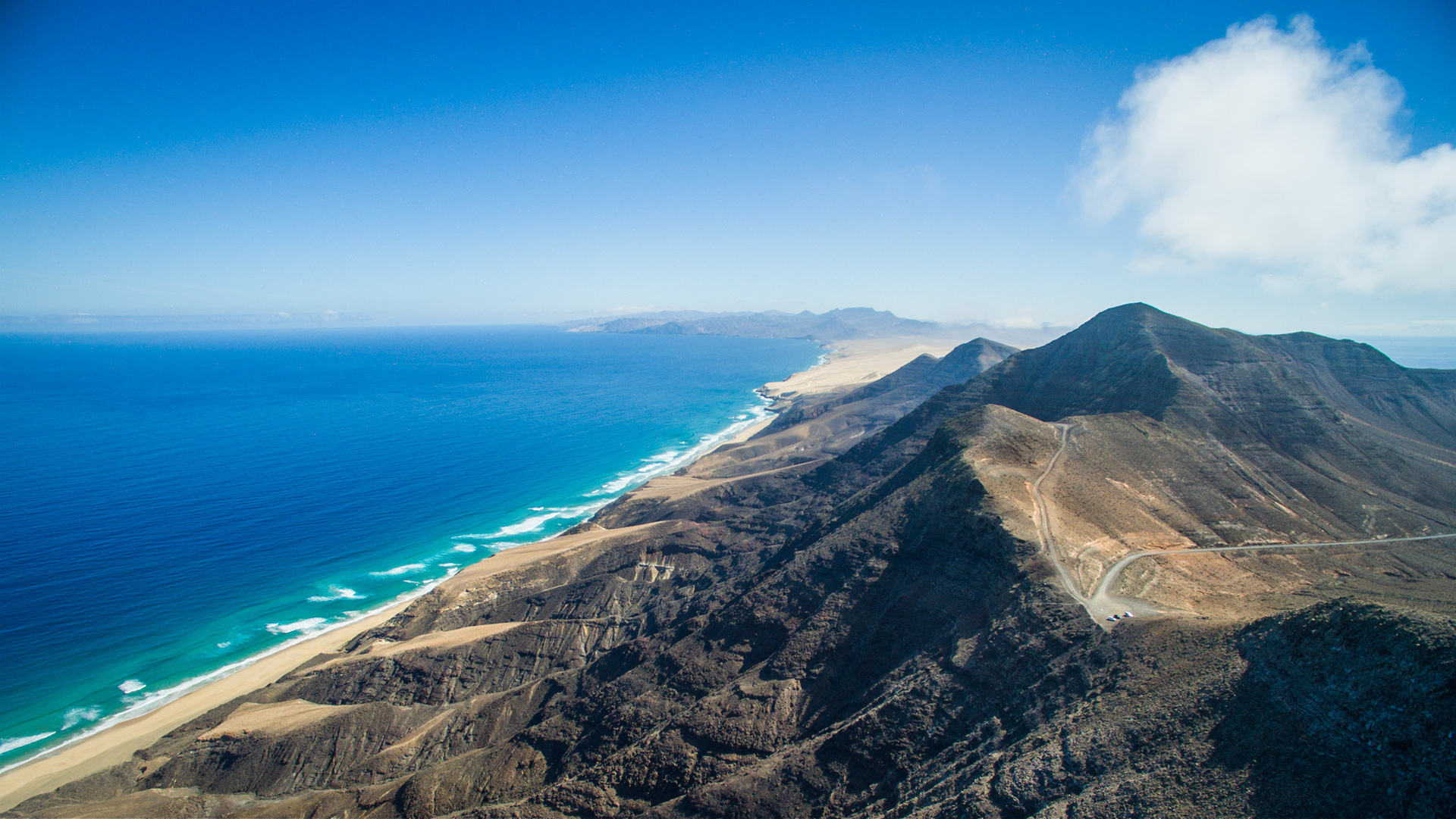
70 million years in three acts
Now it gets deep. Fuerteventura is geologically the oldest island in the Canarian archipelago – and its story doesn’t begin with a beach selfie, but at the bottom of the Atlantic.
Act 1 – The Submarine Phase (70–25 million years ago): Deep beneath the surface, lava layers build up above a hotspot in the Earth’s crust. Nothing is visible. Everything happens in secret. In the Caves of Ajuy on the west coast, you can still touch this primordial rock today – the so-called basal complex, the oldest rock of all the Canaries. A leap of 70 million years in the palm of your hand.
Act 2 – The Shield Phase (20–12 million years ago): The volcanoes break through the water’s surface. Three large massifs emerge – Jandía, Betancuria, Nordmassiv. The island grows to an estimated 3,000 metres in height. A mountain range in the Atlantic, comparable to the present-day Teide. Nobody is there to admire it.
Act 3 – Erosion, Subsidence, Restart (5 million years ago to the present): The volcanoes go extinct. Vast flanks break off, slide into the sea – mega-landslides that dramatically flatten the island. Wind and water do the rest. Sporadic aftershocks: smaller eruptions, new lava fields. The result is the island that appears on every Instagram feed today – shrunk to 807 metres, desert-like, somehow timeless.
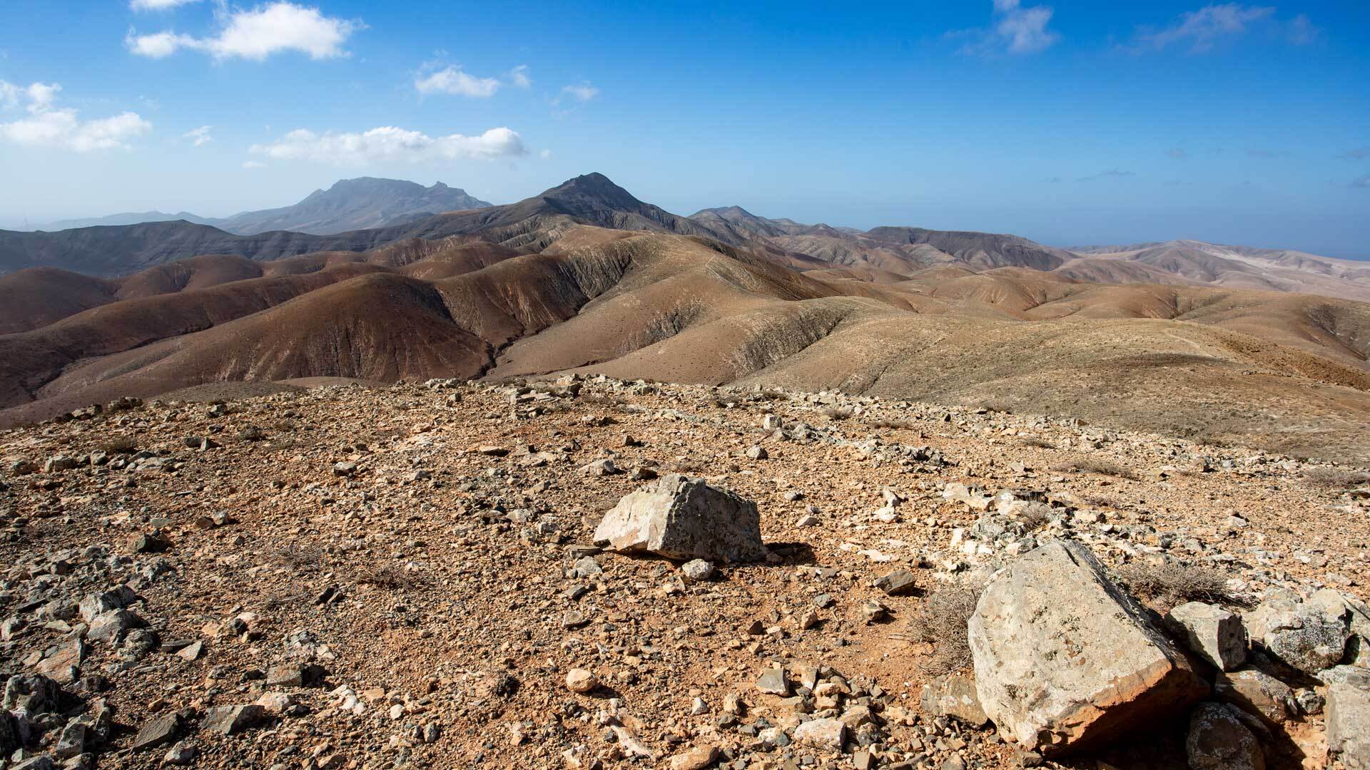
Geological spots worth visiting
The island’s expiry date is running out.
The African plate is slowly drifting east, away from the magma hotspot. Fuerteventura is no longer receiving fresh material. Erosion is winning. In around 5 to 10 million years, the island will become a sandbank, then a submerged ridge – a so-called guyot. The islands east of Fuerteventura are already down there.
No panic. No action required before your next holiday. But a quiet reminder: what you see here is an intermediate stage. One breath in a very, very long history.
And while Fuerteventura heads towards its slow departure, something is already bubbling again to the west, behind El Hierro. The next generation of Canaries is already forming. The game goes on.