Fuerteventura Landscapes: Dunes, Volcanoes and Remote Peaks
When the Island Itself Becomes the Landscape
There are places on this earth that give you the feeling of having landed on another planet. Fuerteventura is one such place. The second-largest of the Canary Islands greets you not with lush greenery, but with a quiet, almost meditative expanse – ochre, beige, grey. A Fuerteventura landscape that does not impose itself, but waits. One you must first come to understand before it draws you under its spell.
What you see here is the result of millions of years. Fuerteventura is considered the oldest island in the Canary archipelago, formed not by spectacular eruptions but by gentle uplifts of the Atlantic plate. This gradual rising from the sea shaped the expansive hilly landscape that is so characteristic today – harmoniously smoothed by the wind, polished by time. Only at a few hotspots did magma break through the earth’s crust and leave its mark: the distinctive volcanic chain between Lajares and La Oliva, and the Cofete crater, which gazes into the landscape like a still eye.
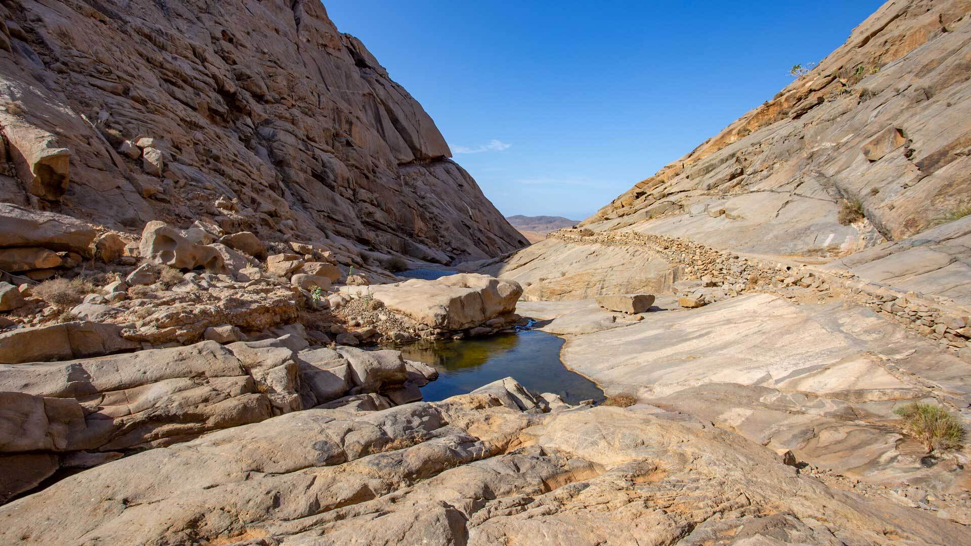
Maxorata and Jandía – Two Faces of an Island
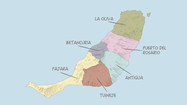
Geographically, Fuerteventura can be broadly divided into two halves. The northern part, Maxorata, takes its name from the Majoreros – the original inhabitants of the island, whose legacy can still be felt today in place names and traditions. Maxorata extends as far as the narrow isthmus Istmo de la Pared, which, like a natural seam, divides north from south.
Beyond this seam begins the Jandía peninsula – wilder, more unspoilt, less developed. Here nature intensifies into something formidable. The Jandía mountains rise abruptly from the plain and plunge steeply on the western side down to the legendary Playa de Cofete – a beach so remote and dramatic that it is hard to leave behind.
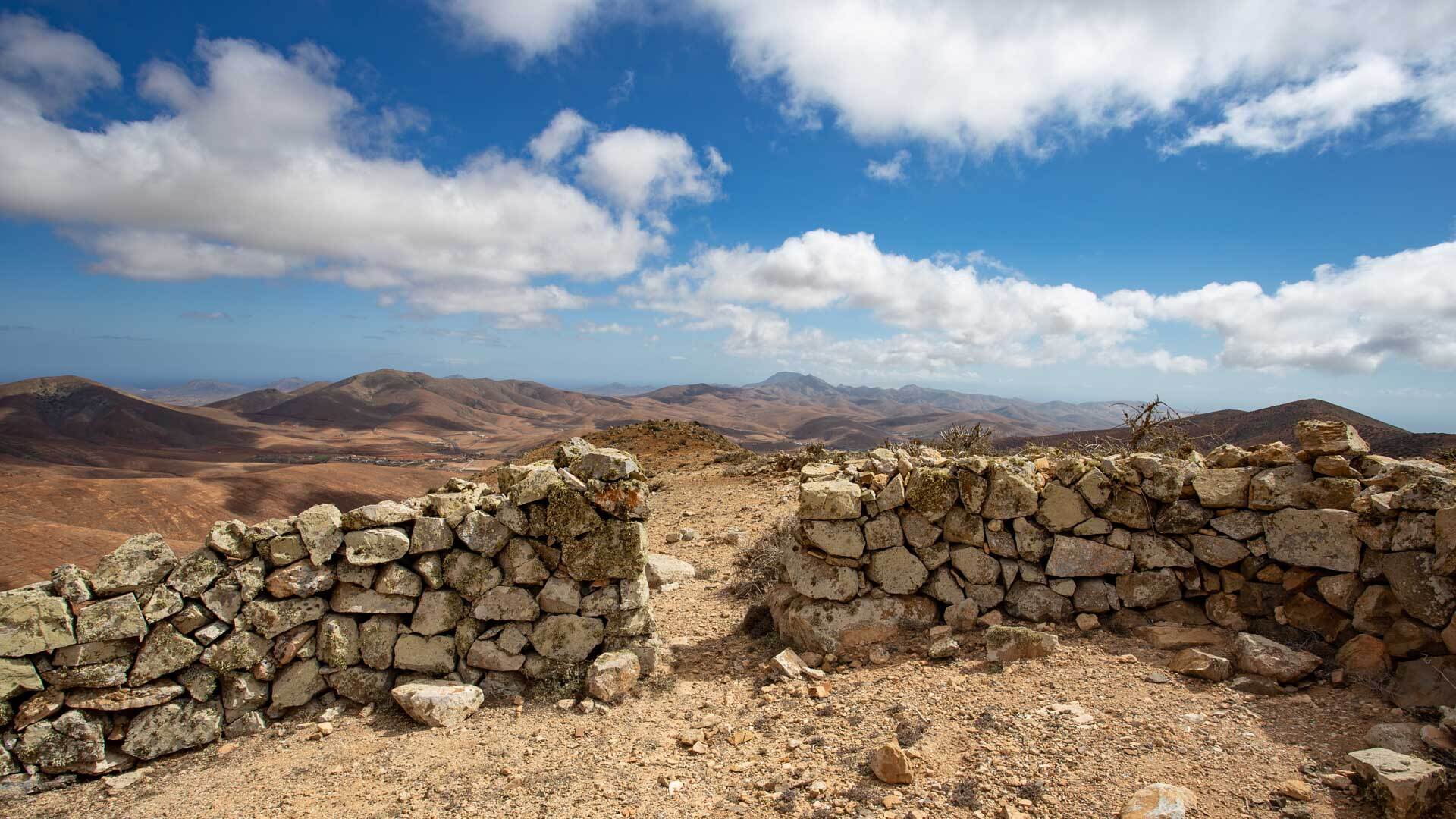
El Jable – the Desert that Borders the Sea
Anyone who wanders through the dune area of El Jable for the first time may, for a moment, believe North Africa is closer than Madrid. This nature-protected area stretches as a bright desert landscape through the interior of the island – and ends to the east at a strip of stunning sandy beaches that are second to none.
The sand dunes of Fuerteventura are no tourist accessory. They are a living geological system, shaped by the trade wind that ceaselessly transports, layers and rearranges the sand. In the evening light the dunes glow golden, and the shadows that form between the crests give the landscape an almost unreal, sculptural quality. It is the moment when you realise: Fuerteventura is not merely a travel destination – it is an experience.
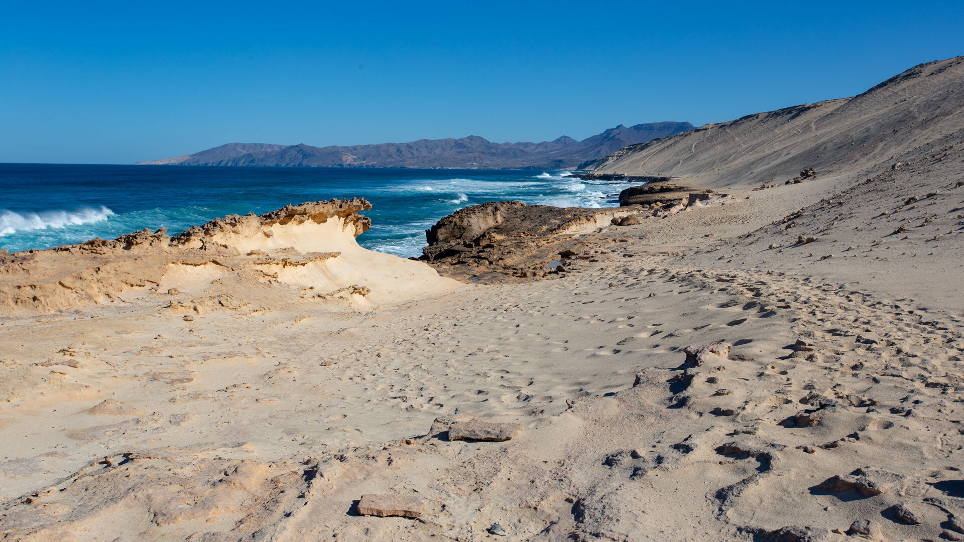
Pico de la Zarza – the Summit that is More than a Hill
At 807 metres, Pico de la Zarza is the highest point on Fuerteventura. Anyone who dismisses it as a harmless hill should think twice. The ascent begins at sea level, and what feels leisurely from below reveals itself, with increasing altitude, to be a genuine challenge: the sun burns, the wind sweeps across the summit with unexpected force, and the path demands concentration.
But then – upon reaching the top – a panorama opens up that makes every step worthwhile. On clear days you can see far across the Atlantic, and sometimes, when light and air permit, the silhouette of Mount Teide on Tenerife appears in the distance. A view that is incomparable to any other on the island.
Close by rises the Pico de Mocán (801 m) – often shrouded in cloud, with a mysterious presence that captivates photographers and hikers alike. For those who want to combine both: the ascent to the Mirador de los Canarios (400 m) offers similar perspectives along a less frequented path and makes an excellent starting point for more demanding tours through the region.
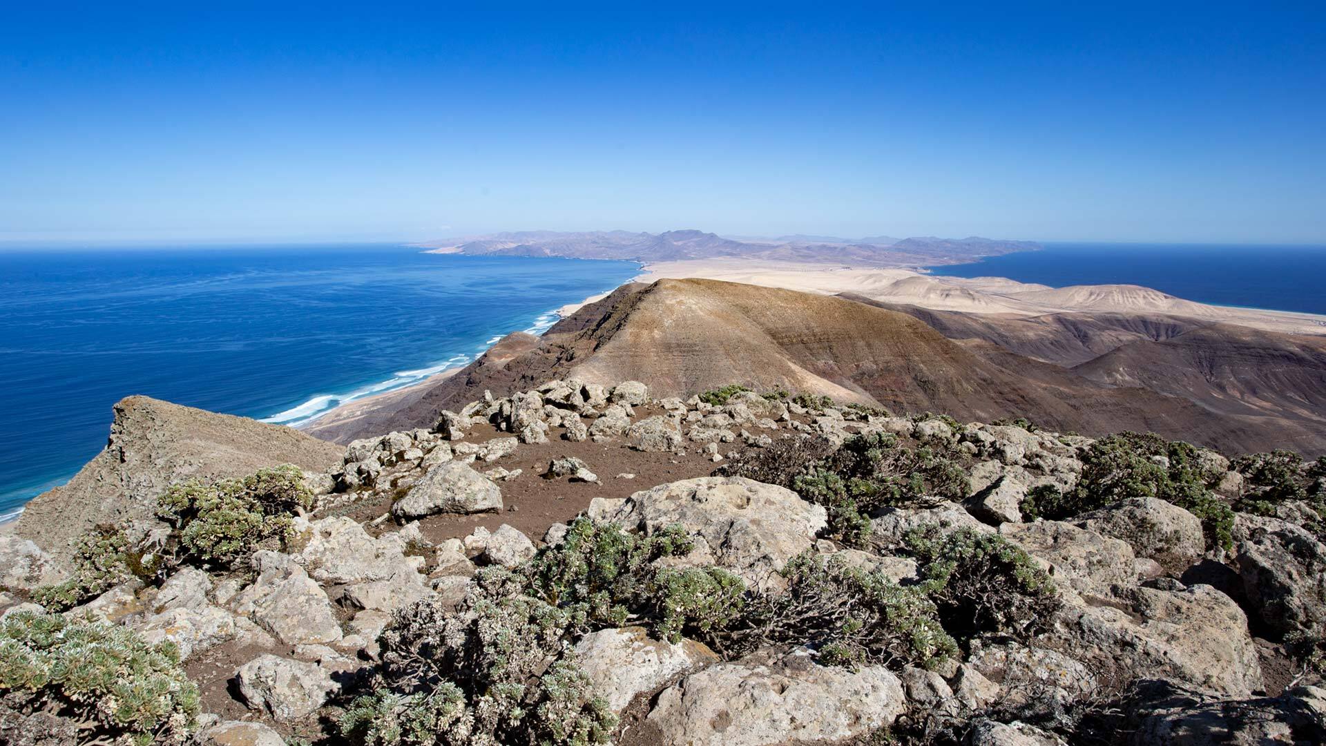
Rock Sculptures and Compacted Sand – the Silent Geology of the Island
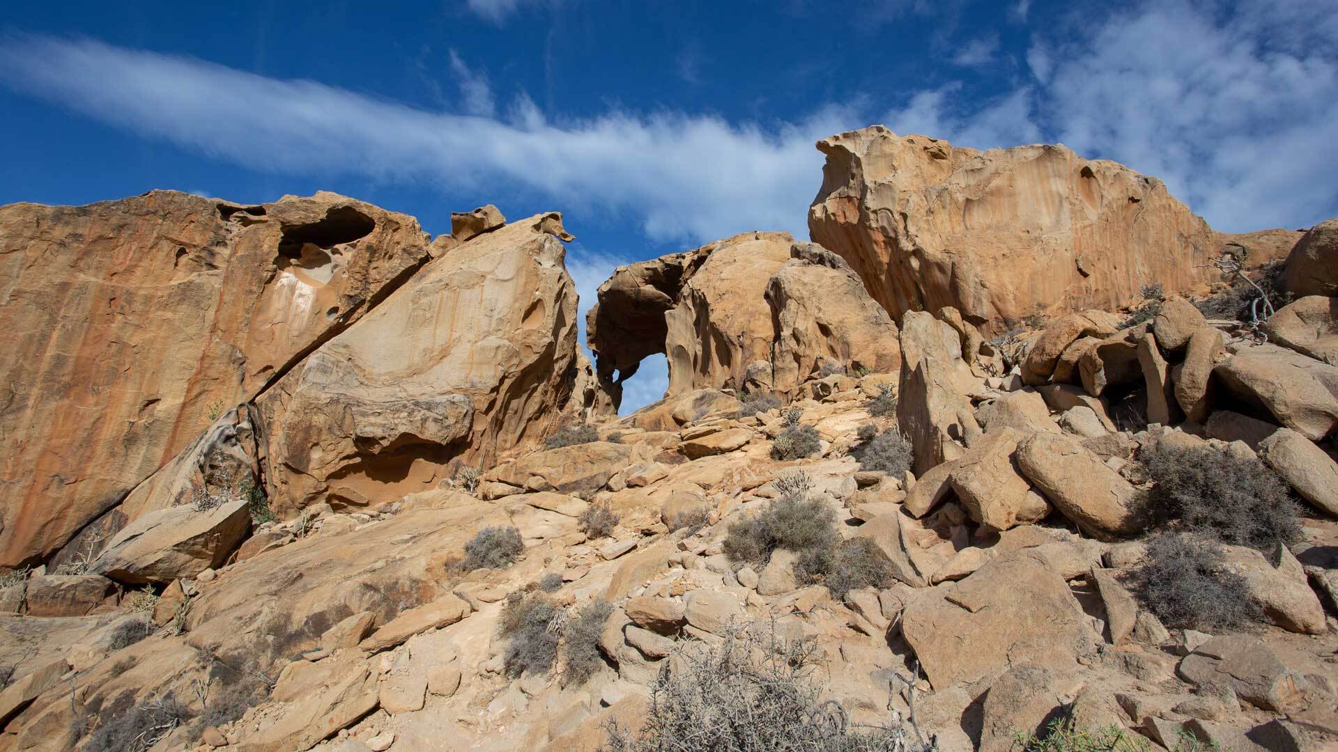
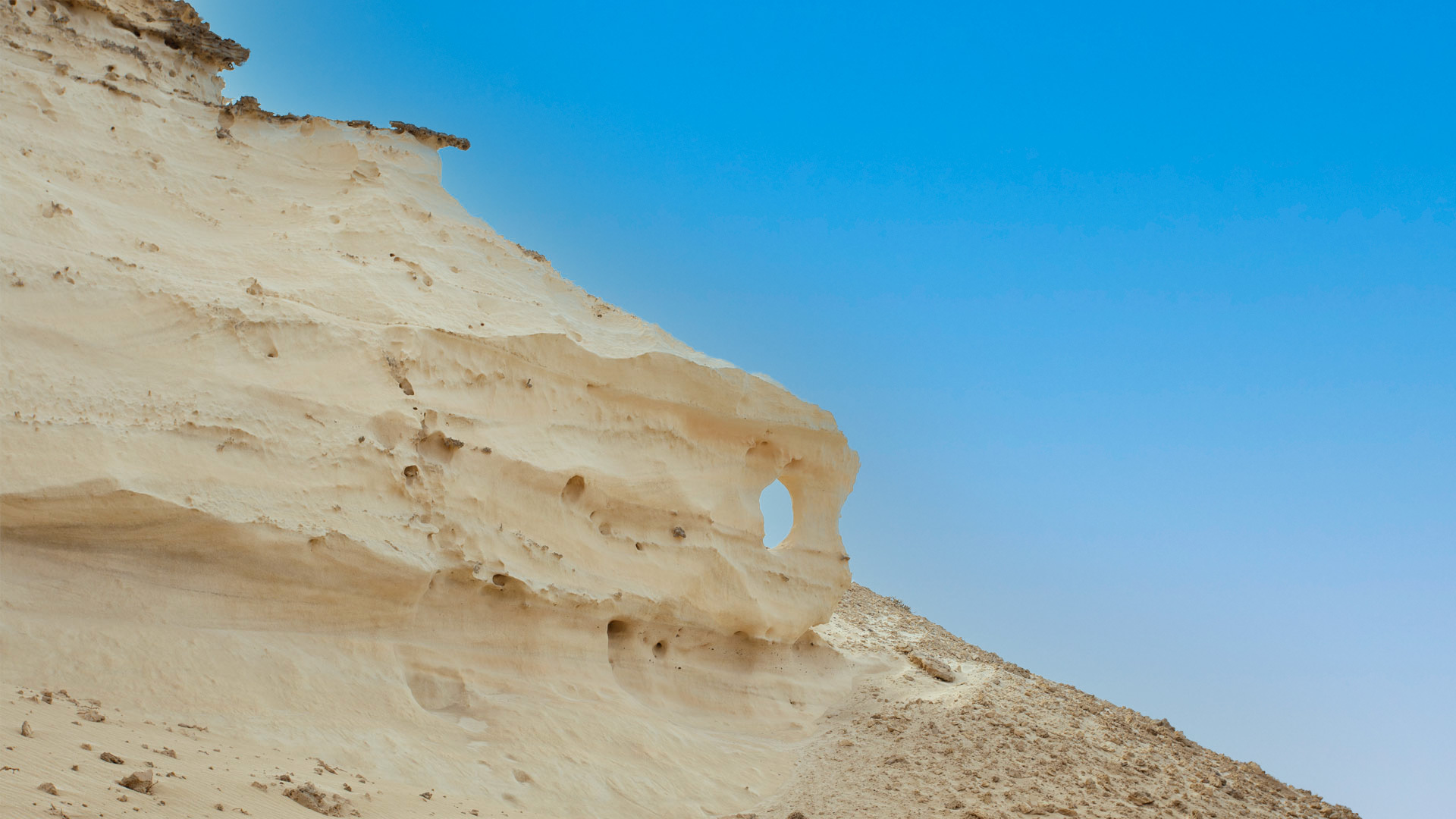
Fuerteventura is an open-air geological museum. Particularly in the areas of Agua Liques and Agua de Ovejas, you encounter rock formations of compacted sand – science calls this material aeolianite – which look as though an invisible sculptor had worked on them for thousands of years.
These rock sculptures of Fuerteventura are silent witnesses to the forces of nature. They tell of wind and time, of water and erosion, of a planet that never stands still. You can marvel at them while hiking, photograph them, touch them – and in doing so, feel just how small one’s own story is beside that of the earth.
Hiking on Fuerteventura – between Silence and Wilderness
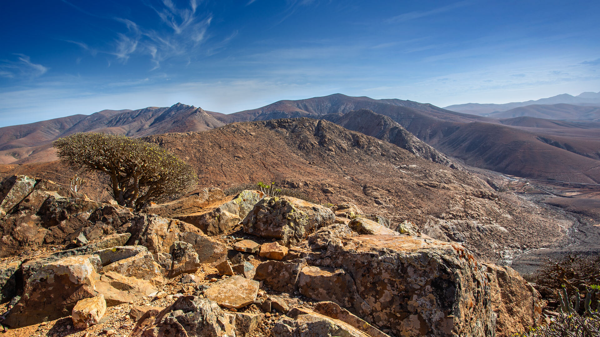
The hiking trails of Fuerteventura lead through a world of contrasts. On one side, the monochrome expanse of the hilly landscape; on the other, the roaring sea that pounds relentlessly against the basalt cliffs of the west coast and hurls spray metres into the air.
One particularly recommended route begins at Vega de Rio Palmas and leads along the mountain ridge to Betancuria – the oldest settlement on the island, nestled among the mountains like a secret. Those who prefer the wilderness follow the coast from Los Molinos to the secluded Bahía de Las Gaviotas, a bay you only find if you are truly looking.
More demanding summits such as Montaña de la Muda (691 m) or Cerro de Aceitunal (687 m) require alpine instinct and good navigation skills – but reward with views that few other hiking destinations on the island can match.
The hiking trails on Fuerteventura are well signposted and accessible to different fitness levels. But the finest thing is not the signposting: it lies in the flora and fauna discovered away from the tourist crowds – in the plants growing between the basalt stones, the birds gliding over the cliffs, and the silence that opens up once the last car has faded away.
The West Coast – where Nature Rules the Stage
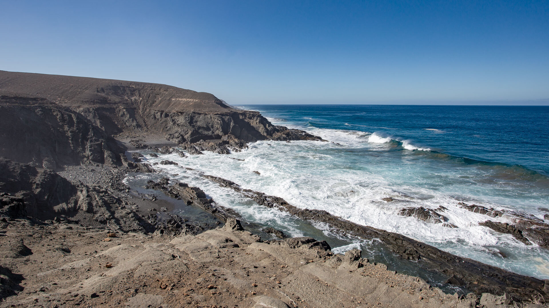
There is scarcely a more dramatic spectacle on Fuerteventura than the west coast. Here Atlantic waves strike the cliffs with full force, shatter into white spray and leave a rumble that echoes in the rock for minutes after impact. Standing here, you feel the power of the ocean physically – in your stomach, in your legs, all the way to your fingertips.
The rugged coastline of Fuerteventura is a highlight for all those who wish to experience nature in its untamed form. Picturesque bays, unspoilt beaches, weathered cliffs – every bend in the path is worth it here. A camera is not optional; it is essential.
Fuerteventura – More than Just Beaches
It would be a mistake to reduce Fuerteventura to its dream beaches alone – beautiful as they are. The island is a natural paradise in its most complete form: volcanic landscapes, dunes, mountains, desert, wild coastline and tranquil valleys exist here side by side in the smallest of spaces.
The constantly changing light transforms the landscape of Fuerteventura from hour to hour. What appears bare and sparse in the morning glows at midday in warm ochres and reds, and at sunset is bathed in a spectrum of gold and violet that no filter on any camera can ever fully capture.
Fuerteventura waits. Those who look, who hike, who take their time – they find an island that runs deeper than any brochure would have you believe.